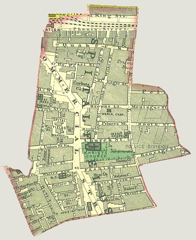

Spitalfields Parish map 1885
A map of the parish of Spitalfields c.1885 which has been cut out and scanned.
- Date
- 1885
- Mapmaker / publisher
- (Life time: 1885)
- Place
- London
- Archive
- Wikimedia Commons
- Type
- map
- Original size
- 627 × 765 pixels
Public domainsafest
Reason: its maker died more than 100 years ago.
Read from: Commons licence category: PD-old-100-expired; no CC BY, CC BY-SA, GFDL or deletion tag on the file page.
Credit line
"Spitalfields Parish map 1885" (1885). (Life time: 1885), via Wikimedia Commons. Public domain. https://commons.wikimedia.org/wiki/File:Spitalfields_Parish_map_1885.jpgNeed maps for a whole project? Add Find Any Map to Claude and ask for this one by its id: 291883.
More like this
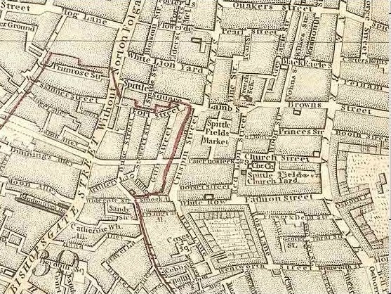
Map of Spitalfields Area - 1787
1787 · Wikimedia Commons

Spittle Fields and places adjacent taken from ye last survey with corrections
1720 · BM Heal,Topography.229

A map of the Parish of St Mary White Chappel
1720 · BM Heal,Topography.231

Hand Coloured Map Descriptive of London Poverty 1898-1899 Sheet 63 - Spitalfields, Whitechapel, Mile End New Town, St George's in the East
1894–1898 · Wikimedia Commons

Portsoken Ward with its division into parishes according to a new survey
1755 · BM Heal,Topography.225

Joel Gascoyne's Spitalfields
1703 · Wikimedia Commons

St Giles parish, London 1804
2012 · Wikimedia Commons

Hand Coloured Map Descriptive of London Poverty 1898-1899. Sheet 51 - Shoreditch, Hoxton, Haggerston, Bethnal Green
1894–1898 · Wikimedia Commons