

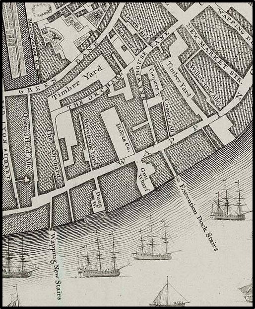
1745 Roque Map
1745 Roque Historic map of the East End. Source Birkbeck History Dept., but not on web.
- Date
- 1745
- Place
- the London borough of Tower Hamlets
- Archive
- Wikimedia Commons
- Type
- map
- Original size
- 2,372 × 1,680 pixels
Public domainsafest
Reason: its maker died more than 100 years ago.
Read from: Commons licence category: PD-old-100-expired; no CC BY, CC BY-SA, GFDL or deletion tag on the file page.
Credit line
"1745 Roque Map" (1745). Wikimedia Commons. Public domain. https://commons.wikimedia.org/wiki/File:1745_Roque_Map.jpgNeed maps for a whole project? Add Find Any Map to Claude and ask for this one by its id: 293182.
More like this

1882 Reynolds Map
1882 · Wikimedia Commons

North Southwark 1746
1746 · Wikimedia Commons

John Rocque's Map of London, 1746
1746 · Wikimedia Commons

Rocque's Map of London 1741-5
August 17, 2009 · Wikimedia Commons

St Pancras and Battle Bridge
1748 · Wikimedia Commons

A Map of London and the adjacent Country 10 Miles Round as Survey'd and Publish'd in 16 Sheets by John Rocque Land Surveyor; reduc'd into one Sheet
1748 · Wikimedia Commons

A map of the Parish of St Mary White Chappel
1720 · BM Heal,Topography.231
Rocque x1746
1746 · Wikimedia Commons