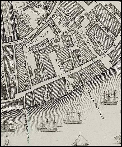

Rocque x1746
Execution Dock at Wapping as shown on John Rocque's 1746 map of London
- Date
- 1746
- Mapmaker / publisher
- John Rocque
- Place
- reaches or the estuary of the River Thames
- Archive
- Wikimedia Commons
- Type
- map
- Original size
- 514 × 621 pixels
Public domainsafest
Reason: its maker died more than 100 years ago.
Read from: Commons licence category: PD-old-100-expired; no CC BY, CC BY-SA, GFDL or deletion tag on the file page.
Credit line
"Rocque x1746" (1746). John Rocque, via Wikimedia Commons. Public domain. https://commons.wikimedia.org/wiki/File:Rocque_x1746.jpgNeed maps for a whole project? Add Find Any Map to Claude and ask for this one by its id: 293185.
More like this
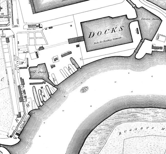
Horwood Blackwall
1813 · Wikimedia Commons

An Exact Survey of the citys of London Westminster ye Borough of Southwark and the Country near ten miles round (4 of 6)
1746 · Plate 4 of 6

Gacoyne's chart shop, Wapping
1703 · Wikimedia Commons

North Southwark 1746
1746 · Wikimedia Commons

Shipyards at Deptford and Rotherhithe - Horwood’s map of London (1792-99)
1792–1799 · Wikimedia Commons

An Exact Survey of the citys of London Westminster ye Borough of Southwark and the Country near ten miles round (2 of 6)
1746 · Plate 2 of 6

An Exact Survey of the citys of London Westminster ye Borough of Southwark and the Country near ten miles round (1 of 6)
1746 · Plate 1 of 6

An Exact Survey of the citys of London Westminster ye Borough of Southwark and the Country near ten miles round (3 of 6)
1746 · Plate 3 of 6