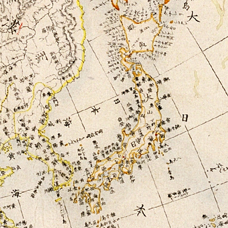

Zyutei bankoku zenzu 1855
Zyutei Bankoku zenzu. This is a map of the world published by copperplate in the 2nd year of Ansei(1855), based on a revision of the Shintei Bankoku Zenzu by Yamaji Yukitaka (1777 - 1861) at the order of the Tokugawa Shogunate.
- Date
- 1855
- Mapmaker / publisher
- Yamaji Yukitaka (1777 - 1861)
- Place
- Japan
- Archive
- Wikimedia Commons
- Type
- map
- Original size
- 466 × 466 pixels
Public domain
Reason: its maker died long enough ago that the copyright has expired.
This status rests on the map's publication history, as researched by Wikimedia Commons. Check it before commercial use.
Read from: Commons licence category: PD Old; no CC BY, CC BY-SA, GFDL or deletion tag on the file page.
Credit line
"Zyutei bankoku zenzu 1855" (1855). Yamaji Yukitaka (1777 - 1861), via Wikimedia Commons. Public domain. https://commons.wikimedia.org/wiki/File:Zyutei_bankoku_zenzu_1855.jpgNeed maps for a whole project? Add Find Any Map to Claude and ask for this one by its id: 241801.
More like this

Bankoku Chikyu Saiken Zenzu 1700
1700 · Wikimedia Commons

World map from Japan, by Takahashi Kageyasu 1816
1816 · Wikimedia Commons

Shinsei yochi zenzu (ALT: Kaei kotei tozai chikyu bankoku zenzu )
1848 · Wikimedia Commons

Shintei - Chikyu Bankoku Hozu (Square Map of all the Countries on the Globe)
1853 · Wikimedia Commons

Nansenbushu Bankoku Shoka No Zu (Outline Map of All Countries of the Universe)
1710 · Wikimedia Commons

1710 Japanese Buddhist map of the World - Nansenbushu Bankoku Shoka No Zu - Outline Map of All Countries of the Universe
1710 · Wikimedia Commons

Oranda Chikyu Zenzu
1840 · Wikimedia Commons

Ca. 1750 Japanes world map - Chiku Bankoku Ichizan no Zu - Comprehensive Image of the World's Myriad Countries
c. 1750 · Wikimedia Commons