

YOSE 37892: Map
Map made from the original watercolor and ink drawing by Jo Mora from 1931 of Yosemite Valley looking east with cartoon-like depictions of scenery buildings and activities. The Yosemite Park and Curry Company printed thousands of these maps for visitors. *Keywords: yose
- Date
- 1931
- Mapmaker / publisher
- NPS Photo
- Place
- Yosemite National Park
- Archive
- Wikimedia Commons
- Type
- map
- Original size
- 1,815 × 2,316 pixels
Public domain
Reason: its maker died more than 75 years ago.
This status rests on the map's publication history, as researched by Wikimedia Commons. Check it before commercial use.
Read from: Commons licence category: PD-old-75-1964; no CC BY, CC BY-SA, GFDL or deletion tag on the file page.
Credit line
"YOSE 37892: Map" (1931). NPS Photo, via Wikimedia Commons. Public domain. https://commons.wikimedia.org/wiki/File:Map_made_from_the_original_watercolor_and_ink_drawing_by_Jo_Mora_from_1931_of_Yosemite_Valley_looking_east_with_cartoon-like_(9ddd5213-1dd8-b71b-0bdd-e37eba835e29).jpgNeed maps for a whole project? Add Find Any Map to Claude and ask for this one by its id: 303925.
More like this

Jo Mora 1931 Yosemite map
1931 · Wikimedia Commons

A hysterical map of Death Valley National Monument - and it's lookin' mighty low
1948 · Library of Congress
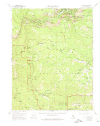
Yosemite, California: USGS topographic map, 1:62,500 (1956)
1956 · 4 editions

Grand Canyon National Park Arizona.
1919 · Library of Congress
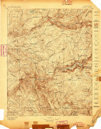
Yosemite, California: USGS topographic map, 1:125,000 (1897–1909)
1897–1909 · 11 editions

Visitors' guide to Grand Canyon National Park, South Rim.
1957 · Library of Congress

A cockeyed hysterical map of the Grand Coulee Dam, Grand Coulee and Dry Falls State Park - which combined should make a pretty good souvenir -- don't you think?
1937 · Library of Congress

Yellowstone National Park.
1904 · Library of Congress