

Jo Mora 1931 Yosemite map
Decorative pictorial map of Yosemite Valley drawn in 1931 by Jo Mora (1876-1947).
- Date
- 1931
- Place
- Yosemite Valley
- Archive
- Wikimedia Commons
- Type
- map
- Original size
- 1,840 × 2,336 pixels
Public domain
Reason: its maker died more than 75 years ago.
This status rests on the map's publication history, as researched by Wikimedia Commons. Check it before commercial use.
Read from: Commons licence category: PD-old-75-1964; no CC BY, CC BY-SA, GFDL or deletion tag on the file page.
Credit line
"Jo Mora 1931 Yosemite map" (1931). Wikimedia Commons. Public domain. https://commons.wikimedia.org/wiki/File:Jo_Mora_1931_Yosemite_map.jpgNeed maps for a whole project? Add Find Any Map to Claude and ask for this one by its id: 137791.
More like this

YOSE 37892: Map
1931 · Wikimedia Commons
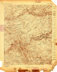
Yosemite, California: USGS topographic map, 1:125,000 (1897–1909)
1897–1909 · 11 editions

A hysterical map of Death Valley National Monument - and it's lookin' mighty low
1948 · Library of Congress

Pictorial United States, 1943
1943 · Wikimedia Commons

Map of Grand Canyon National Park.
1926 · Library of Congress
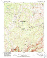
Yosemite Falls, California: USGS topographic map, 1:24,000 (1990–1997)
1990–1997 · 3 editions

Map of Sikkim, Chumbi, Chumbi Valley of Tibet, Tuna, Phari Dzong, Kampa Dzong, Tinki Dzong, Tsomo Tretung, Tang La Chorten Nima La and Kanchenjunga, from- Preliminary map of Mount Everest Expedition, 1921. Map I
1922 · Wikimedia Commons

World wonders - a pictorial map
1939 · Wikimedia Commons