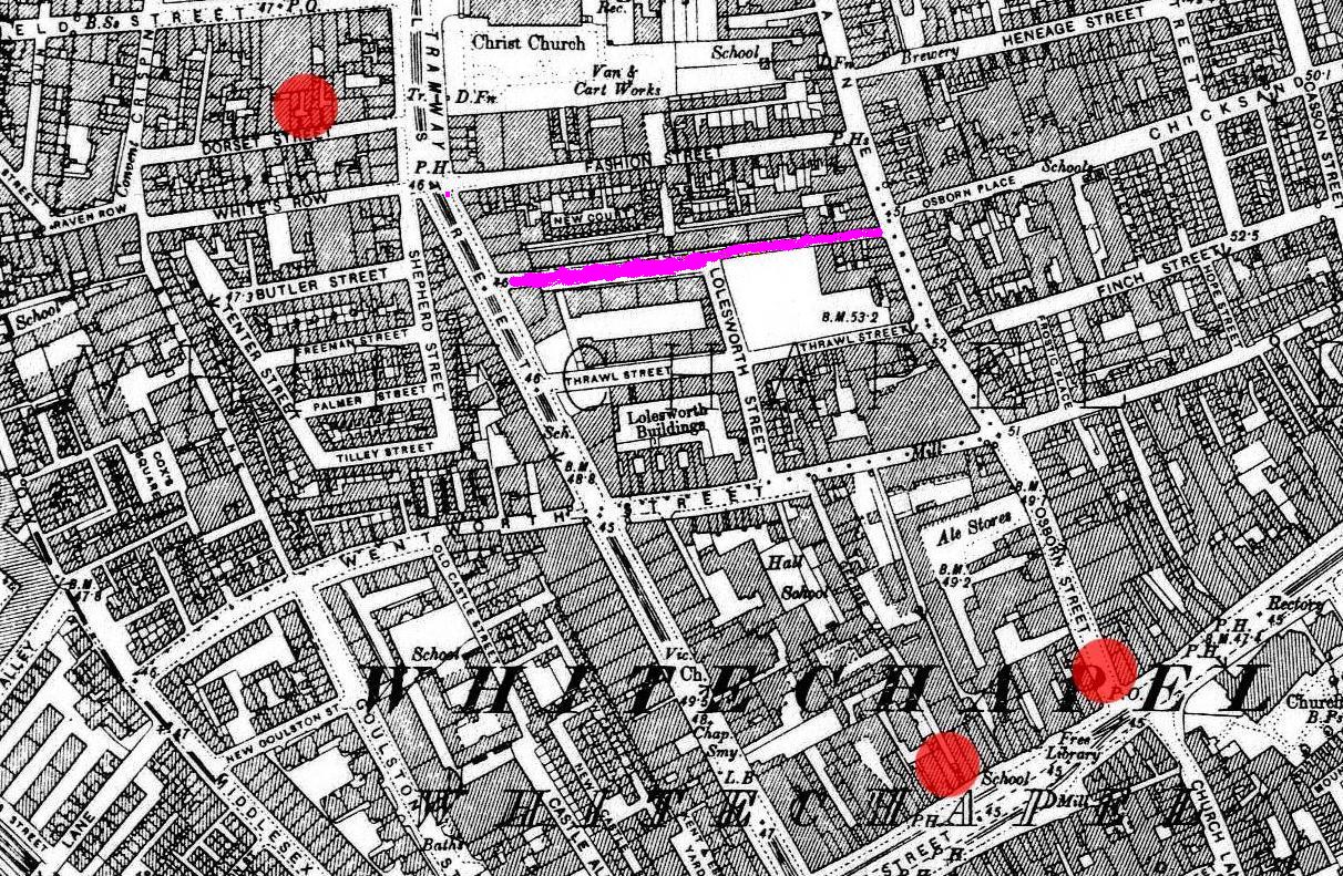

Whitechapel Flower and Dean St
Map of Whitechapel
- Mapmaker / publisher
- I created it derived from above
- Place
- the London borough of Tower Hamlets
- Archive
- Wikimedia Commons
- Type
- map
- Original size
- 1,212 × 791 pixels
Public domain
Reason: its maker died long enough ago that the copyright has expired.
This status rests on the map's publication history, as researched by Wikimedia Commons. Check it before commercial use.
Read from: Commons licence category: PD Old; no CC BY, CC BY-SA, GFDL or deletion tag on the file page.
Credit line
"Whitechapel Flower and Dean St". I created it derived from above, via Wikimedia Commons. Public domain. https://commons.wikimedia.org/wiki/File:Whitechapel_Flower_and_Dean_St.jpgNeed maps for a whole project? Add Find Any Map to Claude and ask for this one by its id: 293184.
More like this

A map of the Parish of St Mary White Chappel
1720 · BM Heal,Topography.231

Hand Coloured Map Descriptive of London Poverty 1898-1899 Sheet 63 - Spitalfields, Whitechapel, Mile End New Town, St George's in the East
1894–1898 · Wikimedia Commons

Booth map of Whitechapel
1889 · Wikimedia Commons

Portsoken Ward with its division into parishes according to a new survey
1755 · BM Heal,Topography.225

Spittle Fields and places adjacent taken from ye last survey with corrections
1720 · BM Heal,Topography.229
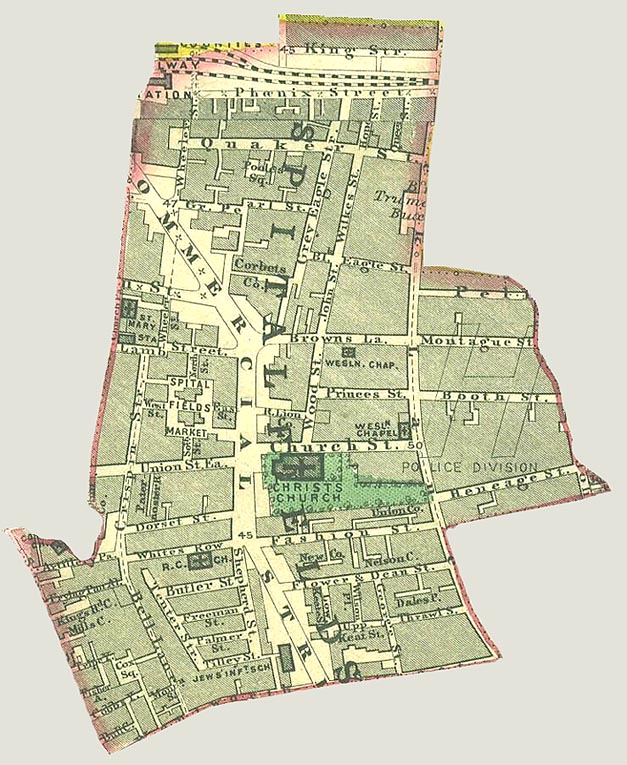
Spitalfields Parish map 1885
1885 · Wikimedia Commons
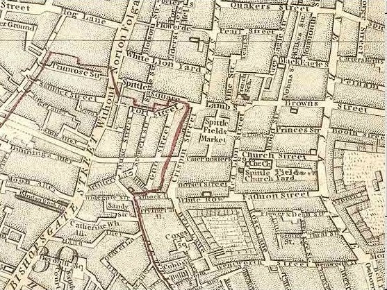
Map of Spitalfields Area - 1787
1787 · Wikimedia Commons

Strype, map of Whitechapel, 1720
1720 · Wikimedia Commons