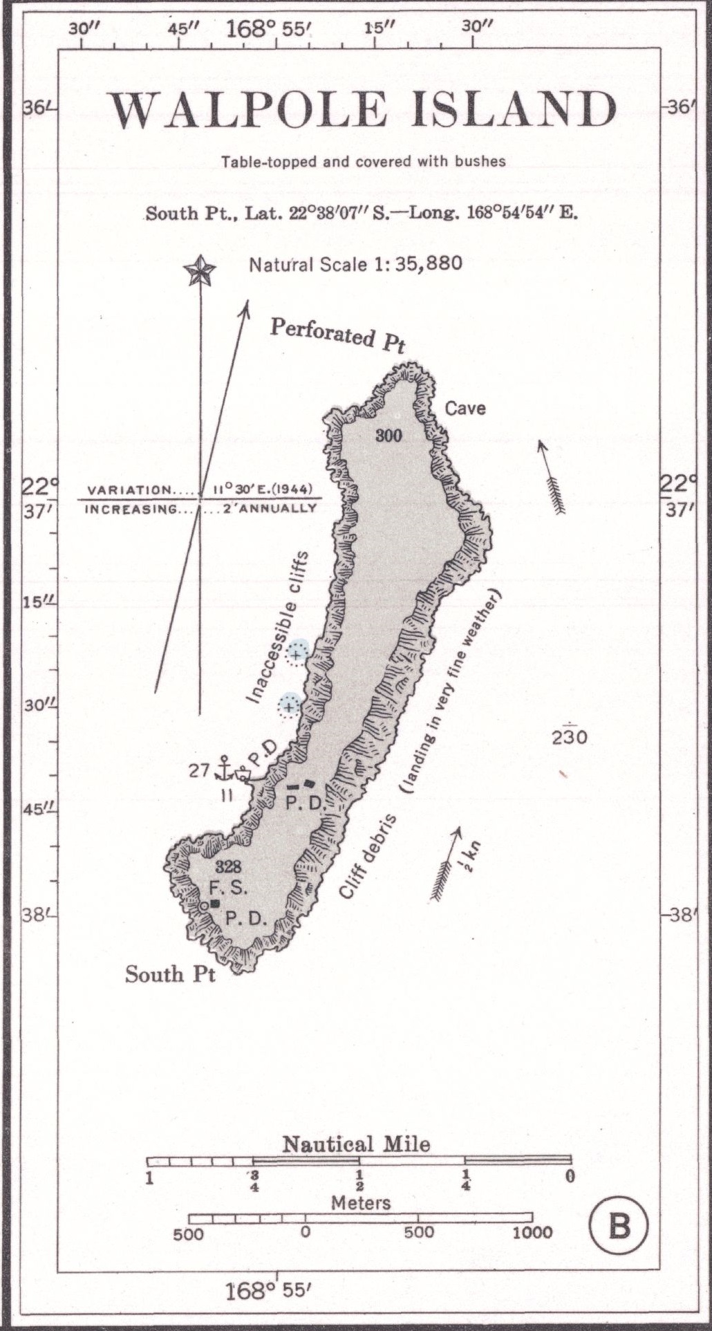

Walpole Island 1901 US Nautical Chart (part)
Old U.S. Nautical Chart of Aneityum and adjacent islands, South Pacific Ocean
- Date
- 1901
- Mapmaker / publisher
- Secretary of the Navy, Hydrographic Office, Washington, D. C
- Place
- New Caledonia
- Archive
- Wikimedia Commons
- Type
- chart
- Original size
- 1,030 × 1,925 pixels
Public domainsafest
Reason: a US government work.
Read from: Commons licence category: PD US Government; no CC BY, CC BY-SA, GFDL or deletion tag on the file page.
Credit line
"Walpole Island 1901 US Nautical Chart (part)" (1901). Secretary of the Navy, Hydrographic Office, Washington, D. C, via Wikimedia Commons. Public domain. https://commons.wikimedia.org/wiki/File:Walpole_Island_1901_US_Nautical_Chart_(part).jpgNeed maps for a whole project? Add Find Any Map to Claude and ask for this one by its id: 294917.
More like this

Matthew and Hunter Islands 1901 Nautical Chart (part)
1901 · Wikimedia Commons

Futuna (Vanuatu) 1901 Nautical Chart
1901 · Wikimedia Commons

Aneityum 1901 Nautical Chart
1901 · 2 sheets

Port Inyeug 1901 US Nautical Chart (part)
1901 · Wikimedia Commons

Conway Reef 1901 (Ceva-i-Ra) Nautical Chart
1901 · Wikimedia Commons

Isle of Pines to Uen Island 1944 nautical chart
1944 · Wikimedia Commons

1887 Chart of Raoul Island
1887 · Wikimedia Commons

Fatu Hiva 1920 nautical chart
May 6, 1920 · Wikimedia Commons