

1887 Chart of Raoul Island
nautical chart of Raoul or Sunday Island, Kermadec Islands, New Zealand, Pacific Ocean
- Date
- 1887
- Mapmaker / publisher
- not stated
- Place
- the Kermadec Islands
- Archive
- Wikimedia Commons
- Type
- chart
- Original size
- 1,024 × 671 pixels
Public domainsafest
Reason: its maker died more than 70 years ago.
Read from: Commons licence category: PD-old-70-expired; no CC BY, CC BY-SA, GFDL or deletion tag on the file page.
Credit line
"1887 Chart of Raoul Island" (1887). not stated, via Wikimedia Commons. Public domain. https://commons.wikimedia.org/wiki/File:1887_Chart_of_Raoul_Island.pngNeed maps for a whole project? Add Find Any Map to Claude and ask for this one by its id: 294864.
More like this
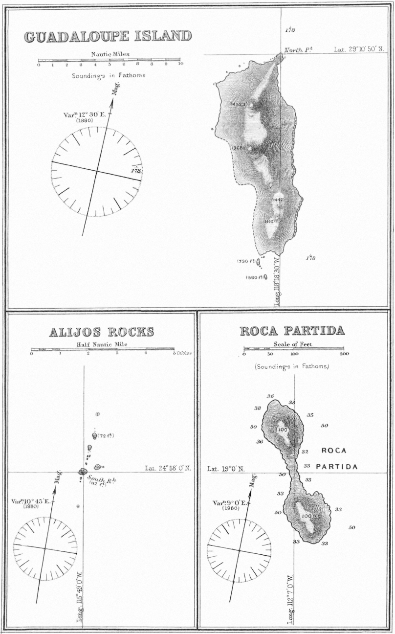
Guadaloupe Island Alijos Rocks Roca Partida 1881 sea chart
1881 · Wikimedia Commons

Hermit Island, Carola Bay, Nautical Map
1949 · Wikimedia Commons

Matthew and Hunter Islands 1901 Nautical Chart (part)
1901 · Wikimedia Commons

Map of Easter Island and Sala y Gómez
1870 · Wikimedia Commons

Raivavae 1944 nautical chart
1944 · Wikimedia Commons

Walpole Island 1901 US Nautical Chart (part)
1901 · Wikimedia Commons

IMRAY(1893) p124 SHIP BAY, POSSESSION ISLAND
1893 · Wikimedia Commons

Futuna (Vanuatu) 1901 Nautical Chart
1901 · Wikimedia Commons