
Urbs S. Thomae-1647
Urbs S. Thomae- ex typographeio Joannis Blaeu ( Amstelodami )
- Date
- 1647
- Place
- São Tomé and Príncipe
- Archive
- Wikimedia Commons
- Type
- map
- Sheets
- 2
- Original size
- 1,189 × 474 pixels
Public domainsafest
Reason: its US copyright has expired (published before 1931).
Read from: Commons licence category: PD US expired; no CC BY, CC BY-SA, GFDL or deletion tag on the file page.
Credit line
"Urbs S. Thomae-1647" (1647). Wikimedia Commons. Public domain. https://commons.wikimedia.org/wiki/File:Urbs_S._Thomae-1647_(2).pngNeed maps for a whole project? Add Find Any Map to Claude and ask for this one by its id: 239158.
All 2 sheets
Each sheet links to its file at the archive; the image link is the full-size scan.


More like this

Map of St. Thomas, 1683
1683–1719 · Wikimedia Commons

Johannes Vingboons - 't eylant St. Thome
1665 · Wikimedia Commons

Plattegrond van de stad Sao Tomé, ca. 1641 Urbs S. Thomae (titel op object), BI-1892-3415-54
1645–1647 · Wikimedia Commons
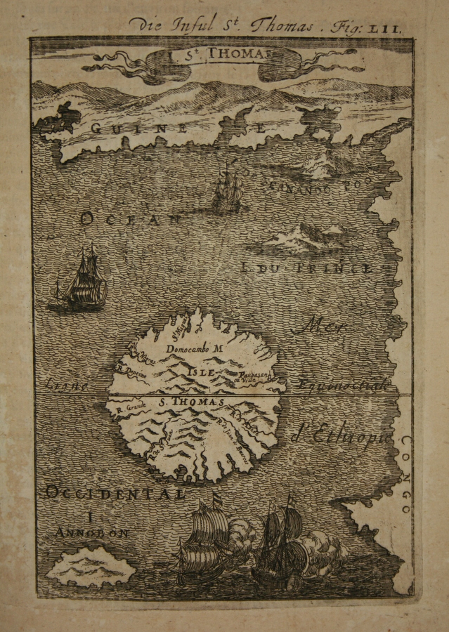
Map of St. Thomas, 1685
1683–1719 · Wikimedia Commons

Insula S. Thomae (de Wit)
1670–1672 · Wikimedia Commons

Map of the island of San Thomé
c. 1665 · Wikimedia Commons

Kaart van het eiland São Tomé, 1602 Insulae St. Thomae (titel op object) Afteeckeninge van St. Thomae, RP-P-OB-75.427
1644–1646 · Wikimedia Commons

Island St. Thomas-1780
1780 · Wikimedia Commons