

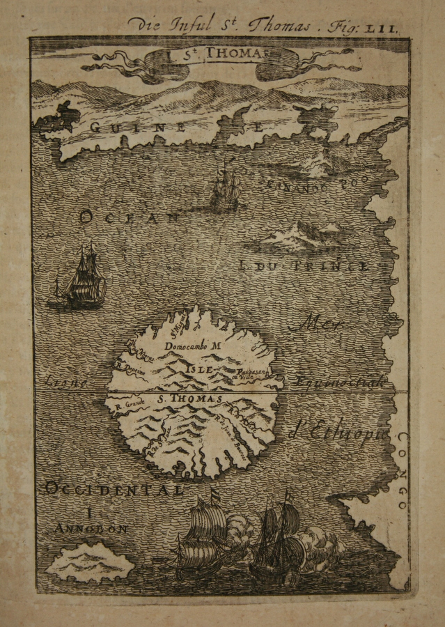
Island St. Thomas-1780
"Island St. Thomas / writing by T. Harmar"
- Date
- 1780
- Mapmaker / publisher
- A. Dalrymple
- Place
- Africa
- Archive
- Wikimedia Commons
- Type
- map
- Original size
- 2,048 × 2,791 pixels
Public domainsafest
Reason: its US copyright has expired (published before 1931).
Read from: Commons licence category: PD US expired; no CC BY, CC BY-SA, GFDL or deletion tag on the file page.
Credit line
"Island St. Thomas-1780" (1780). A. Dalrymple, via Wikimedia Commons. Public domain. https://commons.wikimedia.org/wiki/File:Island_St._Thomas-1780.jpgNeed maps for a whole project? Add Find Any Map to Claude and ask for this one by its id: 239155.
More like this

Island St. Thomas / writing by T. Harmar
1780 · Wikimedia Commons

Map of the island of San Thomé
c. 1665 · Wikimedia Commons

Carta reducida del Golfo de Guinéa Donde entre otras Islas, Esta la de Annobon, y la de Fernando del Po. concluido entre las dos cortes en 24 marzo de 1778 / por D. Thomas Lopez
1778 · Africa, plate 1 of 2

Map of St. Thomas, 1683
1683–1719 · Wikimedia Commons
Map of St. Thomas, 1685
1683–1719 · Wikimedia Commons

Ilha de Sao Thomé von Prof. D.R. Greeff und Francisco José de Araujo
1884 · Wikimedia Commons

Iles du Prince et S ão Tomé
Wikimedia Commons

Urbs S. Thomae-1647
1647 · 2 sheets