

Treblinka by Zdzisław Łukaszkiewicz
Plan of Treblinka, drawn in 1945 by the Polish surveyor K. Trautsolt; with the rubber stamp possibly of the Main Commission for the Investigation of Nazi Crimes in Poland (Główna Komisja Badania Zbrodni Hitlerowskich w Polsce) or more likely of the District Court (illegible), and signed by Łukaszkiewicz. Simplified version (with already typed legend) was published in the book by Z. Łukaszkiewicz, titled Obóz straceń w Treblince, Państwowy Instytut Wydawniczy PIW, Warsaw 1946.
- Date
- 1940
- Place
- the Holocaust
- Archive
- Wikimedia Commons
- Type
- map
- Original size
- 1,107 × 896 pixels
Public domain
Reason: public domain: Poland.
This status rests on the map's publication history, as researched by Wikimedia Commons. Check it before commercial use.
Read from: Commons licence category: PD-Poland; no CC BY, CC BY-SA, GFDL or deletion tag on the file page.
Credit line
"Treblinka by Zdzisław Łukaszkiewicz" (1940). Wikimedia Commons. Public domain. https://commons.wikimedia.org/wiki/File:Treblinka_by_Zdzis%C5%82aw_%C5%81ukaszkiewicz.jpgNeed maps for a whole project? Add Find Any Map to Claude and ask for this one by its id: 24508.
More like this

Sanborn Fire Insurance Map from Truckee, Nevada County, California, 1890, volume 2
1890 · 3 sheets

Sanborn Fire Insurance Map from Truckee, Nevada County, California, 1898, volume 3
1898 · 5 sheets
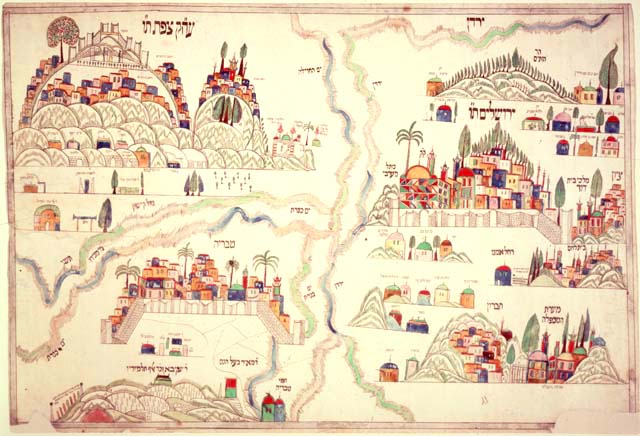
Four holy cities plaque
Library of Congress

Sanborn Fire Insurance Map from Truckee, Nevada County, California, 1885
1885 · 2 sheets

Lageplan-Dampfkraftwerk-Trier-Henney
1905–1913 · Wikimedia Commons

Sanborn Fire Insurance Map from Toledo, Lucas County, Ohio, 1895, volume 4
1895 · 40 sheets

Sanborn Fire Insurance Map from Plymouth, Luzerne County, Pennsylvania, 1896, volume 3
1896 · 13 sheets

Sanborn Fire Insurance Map from Brooklyn, Kings County, New York, 1895, volume 11
1895 · 40 sheets