

Trails of Mt. Monadnock.
Scale not given. Photocopy; blueprint. Relief shown by hachures. AACR2: 650/1; 651/2
- Date
- 1916
- Mapmaker / publisher
- Harling, E. J
- Place
- Cheshire County, New Hampshire
- Archive
- Library of Congress (via Wikimedia Commons)
- Type
- map
- Original size
- 6,526 × 3,957 pixels
Public domainsafest
Reason: its maker died more than 100 years ago.
Read from: Commons licence category: PD-old-100-expired; no CC BY, CC BY-SA, GFDL or deletion tag on the file page.
Credit line
"Trails of Mt. Monadnock." (1916). Harling, E. J. Library of Congress, Geography and Map Division, via Wikimedia Commons. Public domain. https://commons.wikimedia.org/wiki/File:Trails_of_Mt._Monadnock._LOC_76692217.jpgNeed maps for a whole project? Add Find Any Map to Claude and ask for this one by its id: 120449.
More like this

Map of New Hampshire, 1890
1890 · Library of Congress

White Mountain National Forest, New Hampshire and Maine, 1931.
1931 · Library of Congress

Middlesex Fells Reservation.
1919 · Library of Congress

Map of the White Mountains, New Hampshire
1858 · Library of Congress
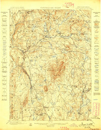
Monadnock, New Hampshire: USGS topographic map, 1:62,500 (1898–1949)
1898–1949 · 22 editions

White Mountain National Forest, New Hampshire-Maine, 1967
1967 · Library of Congress

White Mountain National Forest, New Hampshire-Maine.
1967 · Library of Congress
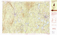
Monadnock Mountain, New Hampshire: USGS topographic map, 1:25,000 (1984)
1984 · 2 editions