

Middlesex Fells Reservation.
Scale ca. 1:19,400. Relief shown by hachures. "The Reservation as here shown includes holdings of the Winchester, Medford and Metropolitan Water Boards." AACR2: 110; 651/1
- Date
- 1919
- Mapmaker / publisher
- Massachusetts. Metropolitan District Commission; Peters, C.J., & Son, Boston
- Place
- the Middlesex Fells Reservation
- Scale
- 1:19,400
- Archive
- Library of Congress (via Wikimedia Commons)
- Type
- map
- Original size
- 4,442 × 5,019 pixels
Public domainsafest
Reason: its maker died more than 80 years ago.
Read from: Commons licence category: PD-old-80-expired; no CC BY, CC BY-SA, GFDL or deletion tag on the file page.
Credit line
"Middlesex Fells Reservation." (1919). Massachusetts. Metropolitan District Commission; Peters, C.J., & Son, Boston. Library of Congress, Geography and Map Division, via Wikimedia Commons. Public domain. https://commons.wikimedia.org/wiki/File:Middlesex_Fells_Reservation._LOC_75697126.jpgNeed maps for a whole project? Add Find Any Map to Claude and ask for this one by its id: 18171.
More like this

Middlesex Fells.
1903 · Library of Congress

Map of Boston and its vicinity
1820 · Library of Congress
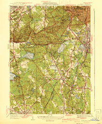
Blue Hills, Massachusetts: USGS topographic map, 1:31,680 (1941)
1941 · 4 editions

Map of the environs of Boston.
1775 · Library of Congress

Trails of Mt. Monadnock.
1916 · Library of Congress

Massachusetts 1-25,000. Camp Edwards
1960 · Library of Congress
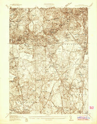
Blue Hills, Massachusetts: USGS topographic map, 1:24,000 (1936–1971)
1936–1971 · 5 editions
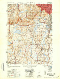
Blue Hills, Massachusetts: USGS topographic map, 1:25,000 (1954–1977)
1954–1977 · 3 editions