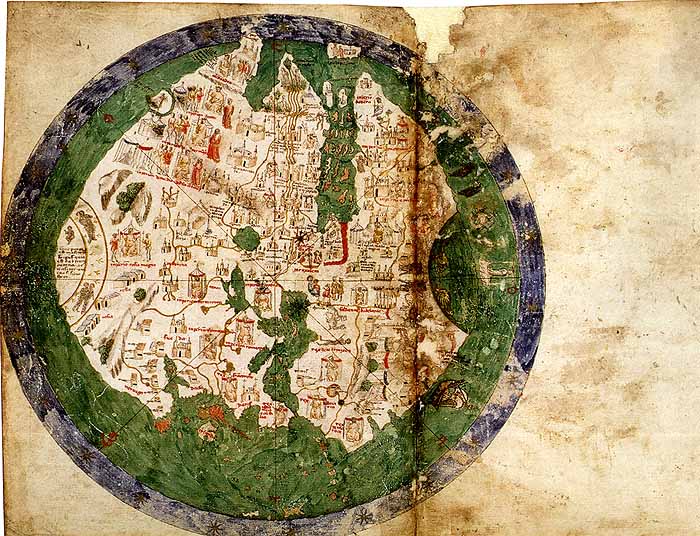

The 1436 world map of Andrea Bianco.
- Date
- 1436
- Mapmaker / publisher
- Andrea Bianco
- Archive
- Wikimedia Commons
- Type
- map
- Original size
- 700 × 536 pixels
Public domain
Reason: its maker died long enough ago that the copyright has expired.
This status rests on the map's publication history, as researched by Wikimedia Commons. Check it before commercial use.
Read from: Commons licence category: PD Old; no CC BY, CC BY-SA, GFDL or deletion tag on the file page.
Credit line
"The 1436 world map of Andrea Bianco." (1436). Andrea Bianco, via Wikimedia Commons. Public domain. https://commons.wikimedia.org/wiki/File:Biancomap.jpgNeed maps for a whole project? Add Find Any Map to Claude and ask for this one by its id: 145352.
More like this

Copie sommaire de la mappemonde vénitienne d'Andrea Bianco, 1436
1436 · Wikimedia Commons

Карта мира 1436 (Andrea Bianco)
1436 · Wikimedia Commons

Nordenskiöld 1897 Figure 07 Image 034
1897 · Library of Congress

Copie de la mappemonde d'Andrea Bianco, de Venise, 1436
1436 · Wikimedia Commons

The Yale world map of "Henricus Martellus Germanus" (Heinrich Hammer), probably from Florence 1490-92. It is the most detailed "Dragon Tail" map by Martellus. It is the only one with a coordinate grid
1490 · Wikimedia Commons
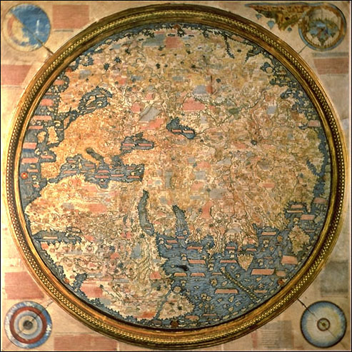
The Fra Mauro map. 1459.
1459 · Wikimedia Commons

Ibn Wardi mappa mundi
c. 1349 · Wikimedia Commons

Planisferio antico di Andrea Bianco
Wikimedia Commons