

Tabrobanum" island on the cotton world map
The largest island on the eastern-most (top) border of the Anglo-Saxon Mappa Mundi is identified as "Tabrobanum"; it is off the coast of India, Parthia and Media.
- Archive
- Wikimedia Commons
- Type
- map
- Original size
- 1,169 × 319 pixels
Public domain
Reason: its maker died long enough ago that the copyright has expired.
This status rests on the map's publication history, as researched by Wikimedia Commons. Check it before commercial use.
Read from: Commons licence category: PD Old; no CC BY, CC BY-SA, GFDL or deletion tag on the file page.
Credit line
"Tabrobanum" island on the cotton world map". Wikimedia Commons. Public domain. https://commons.wikimedia.org/wiki/File:%22Tabrobanum%22_island_on_the_cotton_world_map.jpgNeed maps for a whole project? Add Find Any Map to Claude and ask for this one by its id: 144818.
More like this
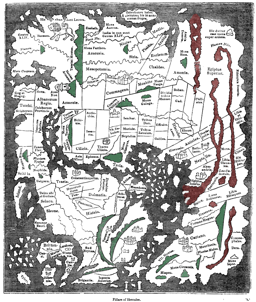
Tracing of the 'Cotton' Anglo-Saxon world map (British Library; Cotton MSS, Tib. B. V, folio 56.; date probably about AD 1000) as published ca. 1836 with printed place-names. Ceylon ("Taprobanea") is
1836 · Wikimedia Commons

EB 1911 Map Fig 8
c. 1911 · Wikimedia Commons

Anglo-Saxon World Map Corrected
Wikimedia Commons

Taprobane Nesos
Wikimedia Commons

Duodecima et Ultima Asiae Tabula
1478 · Wikimedia Commons

1528 - Bordone - BNF - Taprobana
1528 · Wikimedia Commons

Map of Taprobana
1544 · Wikimedia Commons

1375 Catalan Atlas by Abraham Cresques - Taprobana detail
1375 · Wikimedia Commons