

Stockholm viewed from north. Copperplate by Frans Hogenberg c. 1570.
- Date
- c. 1570
- Mapmaker / publisher
- Mats Halldin 21:01, 12 January 2008 (UTC)
- Place
- Stockholm by Braun & Hogenberg
- Archive
- Wikimedia Commons
- Type
- map
- Original size
- 1,820 × 612 pixels
Public domain
Reason: its maker died long enough ago that the copyright has expired.
This status rests on the map's publication history, as researched by Wikimedia Commons. Check it before commercial use.
Read from: Commons licence category: PD Old; no CC BY, CC BY-SA, GFDL or deletion tag on the file page; permission field: PD-Old..
Credit line
"Stockholm viewed from north. Copperplate by Frans Hogenberg c. 1570." (c. 1570). Mats Halldin 21:01, 12 January 2008 (UTC), via Wikimedia Commons. Public domain. https://commons.wikimedia.org/wiki/File:Stockholm-from-north-1570-braun-hogenberg-civitates-orbis-terrarum.jpgNeed maps for a whole project? Add Find Any Map to Claude and ask for this one by its id: 303456.
More like this

Stockholm viewed from south. Copperplate by Frans Hogenberg after a drawing by Hieronymus Scholeus c. 1570.
c. 1570 · Wikimedia Commons

Stockholm 1560s copperplate Frantz Hogenberg
Wikimedia Commons

Stockholm-1570 Braun-Hogenberg Civitates-orbis-terrarum
c. 1570 · Wikimedia Commons

Slussen Hogenberg 1560s
Wikimedia Commons
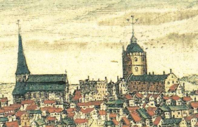
Storkyrkan Tre kronor Hogenberg 1560s
Wikimedia Commons

Liber qvartvs Vrbivm praecipvarvm totivs Mvndi
Wikimedia Commons

Civitates orbis terrarum. Urbium praecipuarum totius mundi. Liber quartus (page 80)
1594 · Wikimedia Commons

Våghuset 1560-tal, Frantz Hogenberg
1560 · Wikimedia Commons