

South Atlantic air routes WWII
- Date
- 1992
- Mapmaker / publisher
- USACE
- Place
- air routes
- Archive
- Wikimedia Commons
- Type
- map
- Original size
- 519 × 401 pixels
Public domainsafest
Reason: a US government work (US Army).
Read from: Commons licence category: PD US Army USACE; no CC BY, CC BY-SA, GFDL or deletion tag on the file page.
Credit line
"South Atlantic air routes WWII" (1992). USACE, via Wikimedia Commons. Public domain. https://commons.wikimedia.org/wiki/File:South_Atlantic_air_routes_WWII.pngNeed maps for a whole project? Add Find Any Map to Claude and ask for this one by its id: 24060.
More like this

Map of AAF Ferrying command transport routes, June 1942 (before the first runway at Kindley Field in the British Imperial fortress of Bermuda became active in 1943).
1942 · Wikimedia Commons
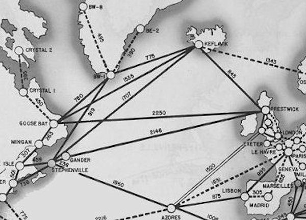
North Atlantic Transport Route 1945
1945 · Wikimedia Commons

Map of worldwide routes of Air Transport Command, September 1945
1945 · Wikimedia Commons

North Atlantic Area Map
1947 · Wikimedia Commons
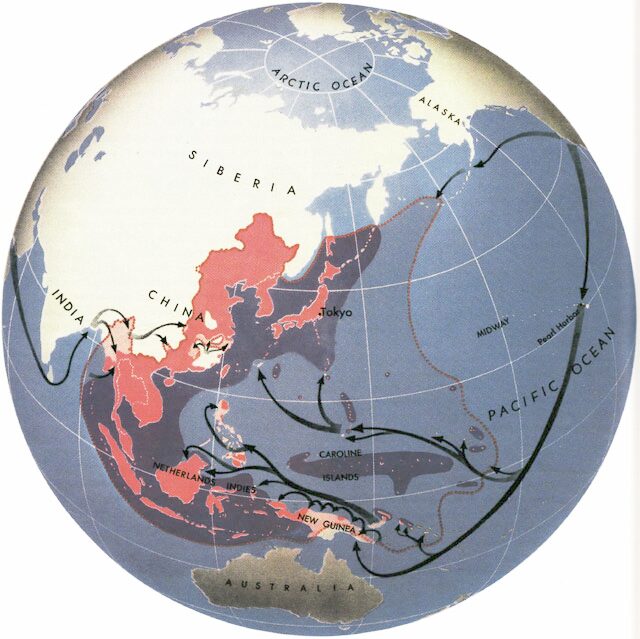
Map shows Allied attack routes against Japan in World War II
1945 · Wikimedia Commons

Southwest Pacific Area
1992 · Wikimedia Commons

Second World War Europe 12 1942 de
April 8, 2013 · Wikimedia Commons

The World War II Pacific Theater as it appeared in August, 1942.
1942 · Wikimedia Commons