

Shepherd-c-018-019 cropped Caucasus
The Macedonian Empire, 336-323 B.C. AND Kingdoms of the Diadochi. Historical Atlas by William R. Shepherd, 1911. Courtesy of the University of Texas Libraries, The University of Texas at Austin. From The Historical Atlas by William R. Shepherd, 1911 edition
- Date
- 1911
- Mapmaker / publisher
- Shepherd-c-018-019.jpg: Historical Atlas by William R. Shepherd 1911 edition *derivative work: Geagea ( talk )
- Place
- the Black Sea
- Archive
- Wikimedia Commons
- Type
- atlas page
- Original size
- 727 × 570 pixels
Public domain
Reason: its maker died long enough ago that the copyright has expired.
This status rests on the map's publication history, as researched by Wikimedia Commons. Check it before commercial use.
Read from: Commons licence category: PD Old; no CC BY, CC BY-SA, GFDL or deletion tag on the file page.
Credit line
"Shepherd-c-018-019 cropped Caucasus" (1911). Shepherd-c-018-019.jpg: Historical Atlas by William R. Shepherd 1911 edition *derivative work: Geagea ( talk ), via Wikimedia Commons. Public domain. https://commons.wikimedia.org/wiki/File:Shepherd-c-018-019_cropped_Caucasus.JPGNeed maps for a whole project? Add Find Any Map to Claude and ask for this one by its id: 242669.
More like this

Shepherd-c-018-019 cropped Middle East
1911 · Wikimedia Commons

Segment of a map from the atlas.
1911 · Wikimedia Commons

Europe 1911 Caucasus and the Black Sea
1911 · Wikimedia Commons

Atlas Cosmographicae (Mercator) 035 cropped
1596 · Wikimedia Commons
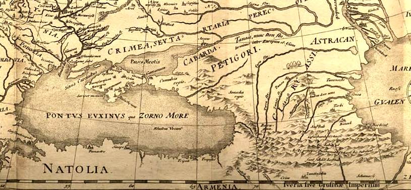
Fedor chertezh cropped
1614 · Wikimedia Commons

Reference Map of Asia Minor under the Greeks and Romans. Historical Atlas by William R. Shepherd, 1911. Courtesy of the University of Texas Libraries, The University of Texas at Austin. From The Histo
1911 · Wikimedia Commons

Armenia, Colchis, Iberia, Albania, Etc
1907 · Wikimedia Commons

The core areas of Colchis.
1907–2008 · Wikimedia Commons