

Schulhaus Goldbach Küsnacht ZH 1
Goldbach school building with darkened windows_1
- Date
- May 17, 2025
- Mapmaker / publisher
- Saxifraga mutata
- Archive
- Wikimedia Commons
- Type
- map
- Original size
- 2,736 × 3,648 pixels
CC0safest
Reason: CC0: dedicated to the public domain.
Read from: Commons licence category: CC-Zero; no CC BY, CC BY-SA, GFDL or deletion tag on the file page.
Credit line
"Schulhaus Goldbach Küsnacht ZH 1" (May 17, 2025). Saxifraga mutata, via Wikimedia Commons. CC0. https://commons.wikimedia.org/wiki/File:Schulhaus_Goldbach_K%C3%BCsnacht_ZH_1.jpgNeed maps for a whole project? Add Find Any Map to Claude and ask for this one by its id: 23380.
More like this

Tarforst 1939
November 26, 2023 · Wikimedia Commons
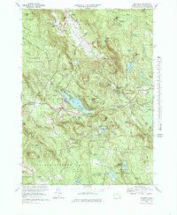
Monterey, Massachusetts: USGS topographic map, 1:25,000 (1973–1975)
1973–1975 · 3 editions
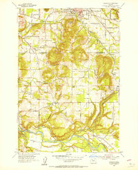
Damascus, Oregon: USGS topographic map, 1:24,000 (1954–1975)
1954–1975 · 6 editions
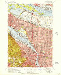
Portland, Oregon: USGS topographic map, 1:24,000 (1954–1990)
1954–1990 · 7 editions
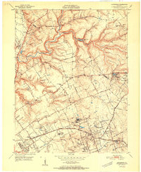
Anchorage, Kentucky: USGS topographic map, 1:24,000 (1951–1981)
1951–1981 · 7 editions
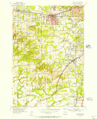
Beaverton, Oregon: USGS topographic map, 1:24,000 (1954–1984)
1954–1984 · 8 editions
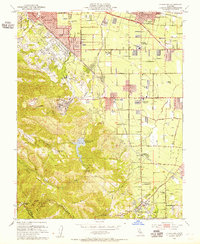
Cupertino, California: USGS topographic map, 1:24,000 (1953–1991)
1953–1991 · 10 editions
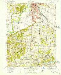
Greenhills, Ohio: USGS topographic map, 1:24,000 (1955–1965)
1955–1965 · 6 editions