

Tarforst 1939
- Date
- November 26, 2023
- Mapmaker / publisher
- Reichsamt für Landesaufnahme / P170 (edit)
- Place
- Trier
- Archive
- Wikimedia Commons
- Type
- map
- Original size
- 3,144 × 2,512 pixels
CC0safest
Reason: CC0: dedicated to the public domain.
Read from: Commons licence category: CC-Zero; no CC BY, CC BY-SA, GFDL or deletion tag on the file page.
Credit line
"Tarforst 1939" (November 26, 2023). Reichsamt für Landesaufnahme / P170 (edit), via Wikimedia Commons. CC0. https://commons.wikimedia.org/wiki/File:Tarforst_1939.jpgNeed maps for a whole project? Add Find Any Map to Claude and ask for this one by its id: 254740.
More like this

Meßtischblatt 6205 Trier. Stand 1939. Bearbeitet 1951 und 1952 (jeweils keine Nachträge).
1939–1952 · Wikimedia Commons
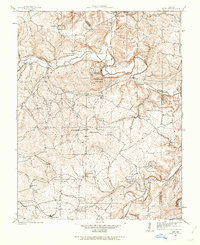
Tiff, Missouri: USGS topographic map, 1:24,000 (1937–1981)
1937–1981 · 4 editions
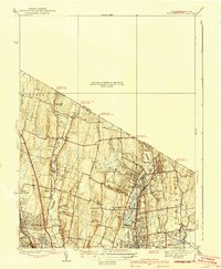
Park Ridge, New Jersey: USGS topographic map, 1:31,680 (1939–1945)
1939–1945 · 4 editions

Topographic map of Pilibhit reserved forest, 1955
March 4, 2012 · Wikimedia Commons

Topographic map of Pilibhit reserved forest, 1983
1983 · Wikimedia Commons
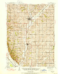
Tarkio, Missouri: USGS topographic map, 1:62,500 (1939–1941)
1939–1941 · 4 editions

Topographic map of Pilibhit reserved forest, 1980
1980 · Wikimedia Commons
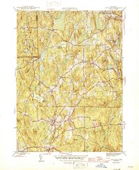
Eastford, Connecticut: USGS topographic map, 1:31,680 (1945–1953)
1945–1953 · 4 editions