

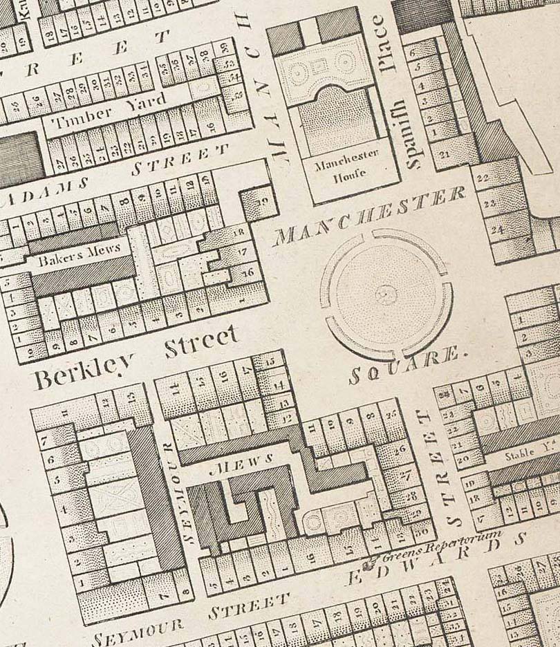
Regent St Horwood 1819 ed edited
- Date
- 1819
- Place
- London
- Archive
- Wikimedia Commons
- Type
- map
- Original size
- 738 × 1,120 pixels
Public domain
Reason: its maker died long enough ago that the copyright has expired.
This status rests on the map's publication history, as researched by Wikimedia Commons. Check it before commercial use.
Read from: Commons licence category: PD Old; no CC BY, CC BY-SA, GFDL or deletion tag on the file page.
Credit line
"Regent St Horwood 1819 ed edited" (1819). Wikimedia Commons. Public domain. https://commons.wikimedia.org/wiki/File:Regent_St_Horwood_1819_ed_edited.jpgNeed maps for a whole project? Add Find Any Map to Claude and ask for this one by its id: 291764.
More like this

Burlington House Horwood 1819 ed edited
1819 · Wikimedia Commons

A new and correct map of London, Westminster and Southwark: exhibiting the various imporvements, to the year 1820 (Second edition with the intended street from Carlton house to the Regents Park)
1820 · Wikimedia Commons

Horwood Great Portland Street circa 1793
1792–1799 · Wikimedia Commons
Manchester Square 1799 edited
1799 · Wikimedia Commons

FutureCambridgeHouse1799 edited
Wikimedia Commons

ChesterfieldHouse1799
Wikimedia Commons

Cary's new pocket Plan of London, Westminster and Southwark.
1819 · Wikimedia Commons

Greenwood 1827 cropped
1827 · Wikimedia Commons