

RED RIVER CAMPAIGN MAP 9802 x 5926
RED RIVER CAMPAIGN MAP
- Date
- 1891
- Mapmaker / publisher
- LaTourette's Map of Louisiana Surveys and Reconnnaissamce by Oswald Dietz, C. E., Lieutennants Miles and McGregory Field Sketches by Colonel John S. Clark, A.D.C. Atlas to Accompany the Official Recor
- Place
- the American Civil War
- Archive
- Wikimedia Commons
- Type
- atlas page
- Original size
- 9,802 × 5,926 pixels
Public domainsafest
Reason: a US government work.
Read from: Commons licence category: PD US Government; no CC BY, CC BY-SA, GFDL or deletion tag on the file page.
Credit line
"RED RIVER CAMPAIGN MAP 9802 x 5926" (1891). LaTourette's Map of Louisiana Surveys and Reconnnaissamce by Oswald Dietz, C. E., Lieutennants Miles and McGregory Field Sketches by Colonel John S. Clark, A.D.C. Atlas to Accompany the Official Recor, via Wikimedia Commons. Public domain. https://commons.wikimedia.org/wiki/File:RED_RIVER_CAMPAIGN_MAP_9802_x_5926.jpgNeed maps for a whole project? Add Find Any Map to Claude and ask for this one by its id: 787.
More like this

Map Showing the Route of the Army During the Red River Campaign in the Spring of 1864. Surveys & Reconnoissances by Osw. Dietz, Civil Engineers, and Lieuts. Miles & McGregory.
1864 · U.S. National Archives

Red River battles
1895 · Library of Congress
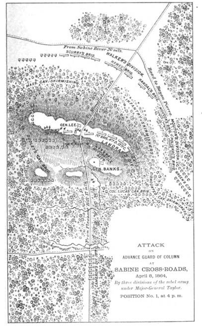
MansfieldMapFromBanksOfficaReport
1891 · Wikimedia Commons

Map of Red River and the Country South and east of Alexandria. Surveyed under the direction of Capt. E. Gottheil, Chief Engineer, Dist. Wesn. La., Head Quarters, Engineer Department, Dist. Western Louisiana.
1861–1865 · U.S. National Archives

Map of a part of Louisiana and Mississippi - illustrating the operations of the U.S. Forces in the Department of the Gulf
1863 · Library of Congress

Map of a part of Louisiana and Mississippi, illustrating the operations of the U.S. forces, in the Department of the Gulf
1863 · Library of Congress

Map of the Red River in Louisiana from the Spanish camp where the exploring party of the U.S. was met by the Spanish troops to where it enters the Mississippi, reduced from the protracted courses and
1806 · Library of Congress

Department of the Gulf Map No. 48. Atchafalaya Basin
1864 · U.S. National Archives