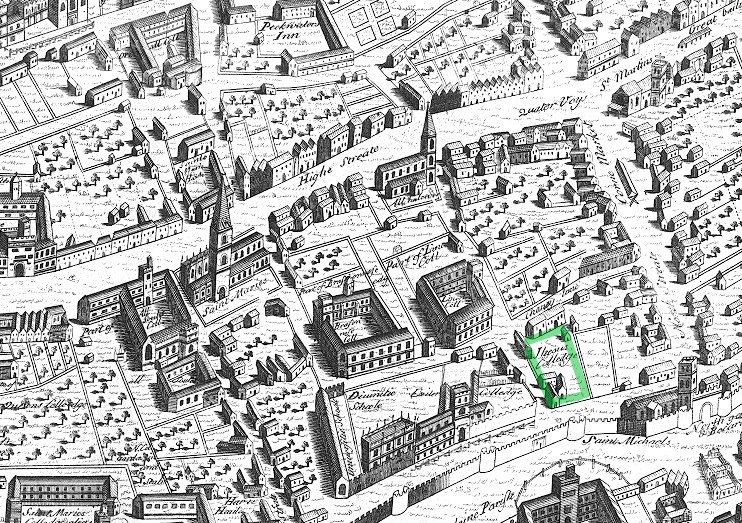

Ralph Agas map of Oxford 1578 Jesus marked
Part of Ralph Agas's map of Oxford (1578). North is at the bottom. Jesus College, Oxford is marked in green
- Date
- 1578
- Mapmaker / publisher
- Ralph_Agas_map_of_Oxford_1578.gif: Map by:en:Ralph Agas, file by the Bodleian Library *derivative work: Bencherlite ( talk )
- Place
- Europe
- Archive
- Wikimedia Commons
- Type
- map
- Original size
- 742 × 523 pixels
Public domainsafest
Reason: its maker died more than 70 years ago, and a faithful scan of a flat work adds no new copyright.
Read from: Commons licence category: PD-Art (PD-old-70); no CC BY, CC BY-SA, GFDL or deletion tag on the file page.
Credit line
"Ralph Agas map of Oxford 1578 Jesus marked" (1578). Ralph_Agas_map_of_Oxford_1578.gif: Map by:en:Ralph Agas, file by the Bodleian Library *derivative work: Bencherlite ( talk ), via Wikimedia Commons. Public domain. https://commons.wikimedia.org/wiki/File:Ralph_Agas_map_of_Oxford_1578_Jesus_marked.jpgNeed maps for a whole project? Add Find Any Map to Claude and ask for this one by its id: 243658.
More like this

Map of 11th century Oxford
1871 · Wikimedia Commons
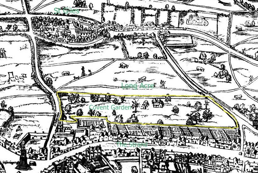
Covent Garden from the Ralph Agas 1572 map of London
1572 · Wikimedia Commons

Cambridge by Braun Hogenberg
1575 · Wikimedia Commons

Cambridge town centre (Braun and Hogenberg)
1575 · Wikimedia Commons

London and Westminster in the Reign of Queen Elizabeth Anno Dom. 1563
1789 · Wikimedia Commons

Civitas Londinum Ano Dni circiter MDLX
1737 · 7 sheets
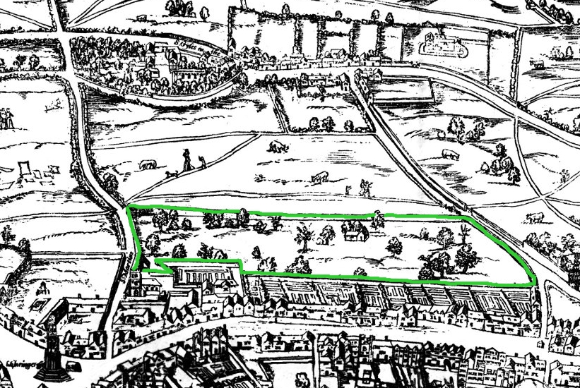
Covent Garden from the Ralph Agas 1572 map of London - marked
1572 · Wikimedia Commons

Maps Of Old London Agas St Giles
Wikimedia Commons