

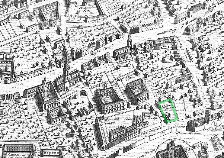
Map of 11th century Oxford
- Date
- 1871
- Mapmaker / publisher
- Either James Parker (1834-1912), or unknown. The book makes no reference to an artist involved in the making of the map
- Place
- Europe
- Archive
- Wikimedia Commons
- Type
- map
- Original size
- 4,163 × 2,527 pixels
Public domainsafest
Reason: its maker died more than 70 years ago.
Read from: Commons licence category: PD-old-70-expired; no CC BY, CC BY-SA, GFDL or deletion tag on the file page.
Credit line
"Map of 11th century Oxford" (1871). Either James Parker (1834-1912), or unknown. The book makes no reference to an artist involved in the making of the map, via Wikimedia Commons. Public domain. https://commons.wikimedia.org/wiki/File:Map_of_11th_century_Oxford.jpgNeed maps for a whole project? Add Find Any Map to Claude and ask for this one by its id: 249698.
More like this
Ralph Agas map of Oxford 1578 Jesus marked
1578 · Wikimedia Commons

Oxonium.; Vindesorium.
1640–1645 · Plate 1 of 3

Map of the town of Rochester
February 24, 2008 · Wikimedia Commons

Map of Yelford Village, 1625
1625 · Wikimedia Commons

ONL (1887) 1.013 - Part of Modern London, Showing the Ancient Wall (map)
1873–1887 · Wikimedia Commons

ONL (1887) 1.015 - Plan of Roman London
1873–1887 · Wikimedia Commons

ONL (1887) 1.145 - Map of Fleet Street, the Temple, etc, 1720
1873–1887 · Wikimedia Commons

Oxfordshire: County map by Robert Morden, first published in 'Britannia' in 1695. This copy from the 1722 edition.
1695 · Wikimedia Commons