

Ptolemaeus Magna Germania
The 4th Map of Europe from Ptolemy's Geography, depicting Germany. - The Codex Latinus V. F. 32 is a manuscript edition of Ptolemy's Geography held by the National Library at Naples, Italy. It was photographed for publication in Cosmographia, intro. by Lelio Pagani and photog. by Domenico Lucchetti, in 1975 and 1990. - This is the only map of this Codex currently held in Commons.
- Mapmaker / publisher
- Map: * Photo: Mediatus
- Archive
- Wikimedia Commons
- Type
- map
- Original size
- 5,440 × 3,909 pixels
Public domain
Reason: its maker died more than 100 years ago.
This status rests on the map's publication history, as researched by Wikimedia Commons. Check it before commercial use.
Read from: Commons licence category: PD-old-100-expired; no CC BY, CC BY-SA, GFDL or deletion tag on the file page.
Credit line
"Ptolemaeus Magna Germania". Map: * Photo: Mediatus, via Wikimedia Commons. Public domain. https://commons.wikimedia.org/wiki/File:Ptolemaeus_Magna_Germania.jpgNeed maps for a whole project? Add Find Any Map to Claude and ask for this one by its id: 254016.
More like this

Quarta Europe Tabula
1478 · Wikimedia Commons

Quarta Europe Tabula
1490 · Wikimedia Commons
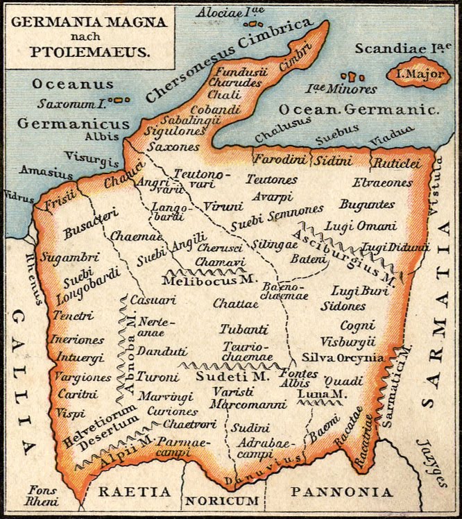
Germania Magna nach Ptolemaeus
1886 · Wikimedia Commons

Cosmographia – Ulm 1482; Geographia. Latin
1482 · Wikimedia Commons

1482 Cosmographia Germanus
1482 · Wikimedia Commons

Johannes Schnitzer Weltkarte
1482 · Wikimedia Commons

Habitabilis Nostre Tabula
1490 · Wikimedia Commons

Tabula Quarta dEuropa
1482 · Wikimedia Commons