

Potentielle Territorien eines um 1941 erwogenen Donaustaates, von der Schwäbischen Türkei bis Siebenbürgen
Potential territories of a Donaustaat (Danube-State) considered by Nazi-Germany and German ethnic group representatives around 1941, spanning from Swabian Turkey to Transylvania. The inner borders are based on borders of districts/counties such as the Hungarian Megyék, the Romanian Județe and the Yugoslav Županija.
- Date
- July 27, 2020
- Mapmaker / publisher
- Dr-Victor-von-Doom
- Place
- the history of Transylvania
- Archive
- Wikimedia Commons
- Type
- map
- Original size
- 2,048 × 1,460 pixels
CC0safest
Reason: CC0: dedicated to the public domain.
Read from: Commons licence category: CC-Zero; no CC BY, CC BY-SA, GFDL or deletion tag on the file page.
Credit line
"Potentielle Territorien eines um 1941 erwogenen Donaustaates, von der Schwäbischen Türkei bis Siebenbürgen" (July 27, 2020). Dr-Victor-von-Doom, via Wikimedia Commons. CC0. https://commons.wikimedia.org/wiki/File:Potentielle_Territorien_eines_um_1941_erwogenen_Donaustaates,_von_der_Schw%C3%A4bischen_T%C3%BCrkei_bis_Siebenb%C3%BCrgen.pngNeed maps for a whole project? Add Find Any Map to Claude and ask for this one by its id: 24932.
More like this

Simulation eines „deutschen Schutzgebietes“ (Konzept von 1941)
April 18, 2017 · Wikimedia Commons

Konzept eines Süddeutschen Pufferstaates
April 18, 2017 · Wikimedia Commons

Military Administration in Serbia
July 31, 2011 · Wikimedia Commons

Ottoman vojvodina01
March 23, 2009 · Wikimedia Commons
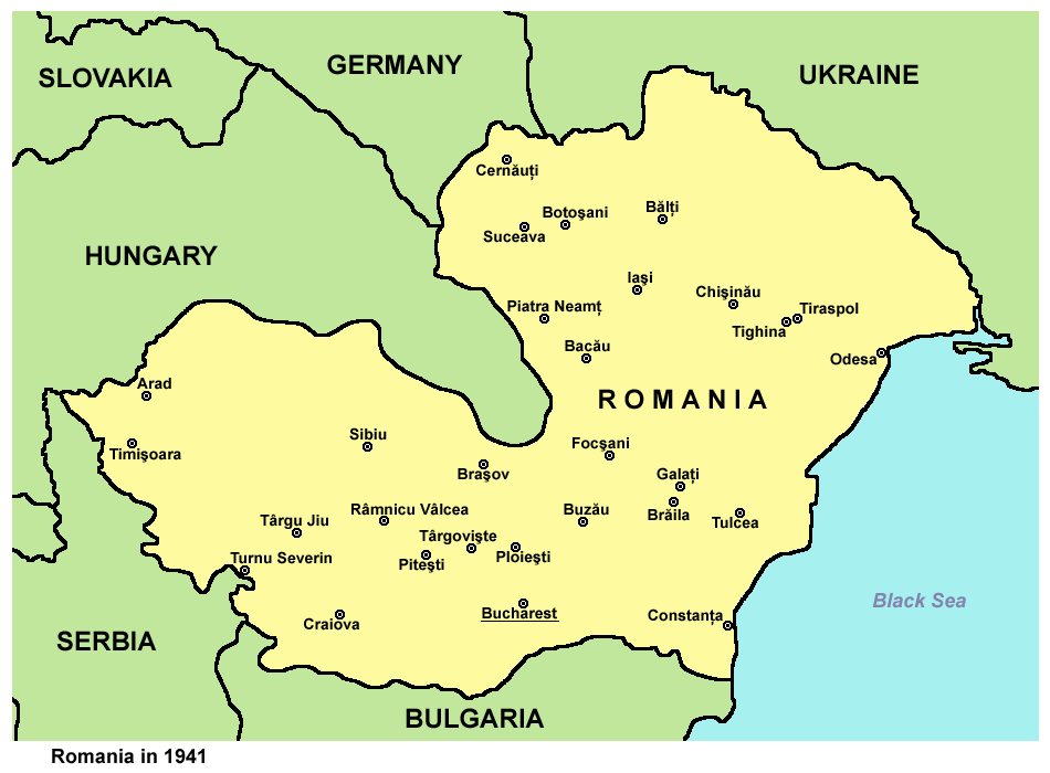
Historic map of Romania in 1941.
December 28, 2006 · Wikimedia Commons

Danube banovina1941
2013 · Wikimedia Commons

Kingdom of Hungary - Ethnic Map - 1941
2015 · Wikimedia Commons
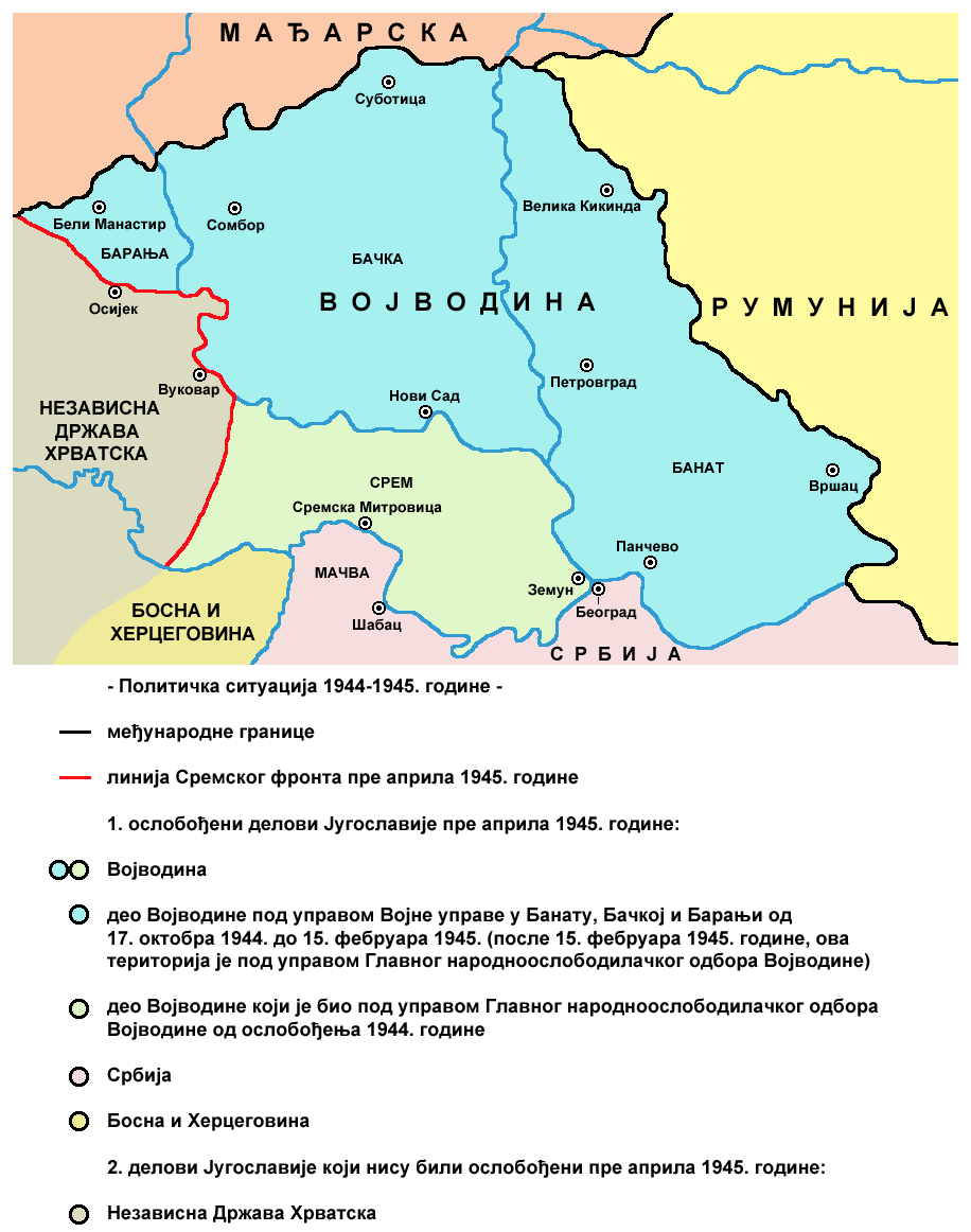
Vojvodina 1944 1945 02
June 29, 2009 · Wikimedia Commons