

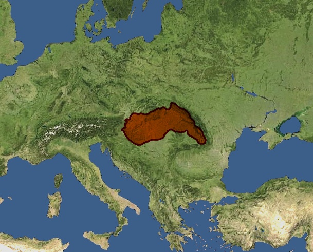
Kingdom of Hungary - Ethnic Map - 1941
Ethnic map of the Kingdom of Hungary, the Carpatho-Pannonian area in 1941, based on the Slovak (1940), Hungarian (1941), and Romanian (1941) censuses. Legend: Accompanying text: PDF: HUN-REN CSFK Geographical Institute: More detailed interactive map: National Atlas of Hungary: Volume 1 – State and Nation: National Atlas of Hungary: Volume 3 – Society: Hungary and the Hungarians: History of Population: Etnicity, Language
- Date
- 2015
- Mapmaker / publisher
- Authors: Károly Kocsis, Patrik Tátrai, Norbert Agárdi, Dániel Balizs, András Bognár, Zsolt Bottlik, Anikó Kovács, Árpád E. Varga Cartography: Norbert Agárdi, Zoltán Farkas, Zoltán Keresztesi, Fanni Ko
- Place
- ethnic groups in Hungary
- Archive
- Wikimedia Commons
- Type
- map
- Original size
- 4,771 × 3,337 pixels
CC0safest
Reason: CC0: dedicated to the public domain.
Read from: Commons licence category: CC-Zero; no CC BY, CC BY-SA, GFDL or deletion tag on the file page.
Credit line
"Kingdom of Hungary - Ethnic Map - 1941" (2015). Authors: Károly Kocsis, Patrik Tátrai, Norbert Agárdi, Dániel Balizs, András Bognár, Zsolt Bottlik, Anikó Kovács, Árpád E. Varga Cartography: Norbert Agárdi, Zoltán Farkas, Zoltán Keresztesi, Fanni Ko, via Wikimedia Commons. CC0. https://commons.wikimedia.org/wiki/File:Kingdom_of_Hungary_-_Ethnic_Map_-_1941.jpgNeed maps for a whole project? Add Find Any Map to Claude and ask for this one by its id: 23555.
More like this

Ethnographic map of hungary 1910 by teleki carte rouge
1920 · Wikimedia Commons

Ethnographical map of Hungary based on density of population, Census of 1910
1919 · Wikimedia Commons

Carte ethnographique des pays de la couronne hongroise, d'après les résultats du dénombrement de la population en 1880 par François Rethey
1886 · Wikimedia Commons

Austria hungary 1911
1911 · Wikimedia Commons

Kogutowicz Károly Magyarország Néprajzi Térképe
1927 · Wikimedia Commons
Hungary 1940
1940 · Wikimedia Commons

Austria hungary 1911 and post war borders
1911 · Wikimedia Commons

Hungary map 1941-sr
2014 · Wikimedia Commons