

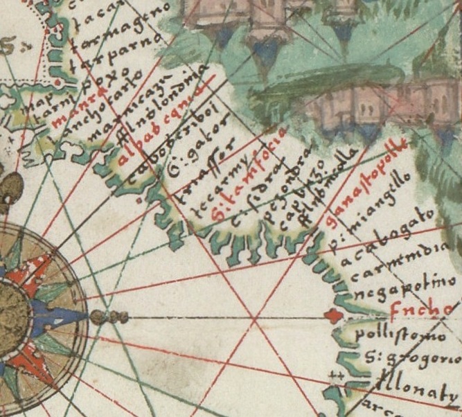
(Portolan chart of the Mediterranean, the Black Sea, and the coasts of Europe and northwest Africa).
Portolan chart with seaport names given for all coastlines. Title devised by cataloguer. Contains 4 compass roses in a circle centered in Italy to the north of Rome and half of a fifth on the trimmed center left edge. Pen-and ink in brown, red, and green, with possible traces of gilding. The chart appears to have been cropped at the left and possibly the right. LC Nautical charts on vellum, 13.
- Place
- the Mediterranean Sea
- Archive
- Library of Congress (via Wikimedia Commons)
- Type
- chart
- Original size
- 13,043 × 9,680 pixels
Public domain
Reason: its maker died more than 100 years ago.
This status rests on the map's publication history, as researched by Wikimedia Commons. Check it before commercial use.
Read from: Commons licence category: PD-old-100-expired; no CC BY, CC BY-SA, GFDL or deletion tag on the file page.
Credit line
"(Portolan chart of the Mediterranean, the Black Sea, and the coasts of Europe and northwest Africa).". Library of Congress, Geography and Map Division, via Wikimedia Commons. Public domain. https://commons.wikimedia.org/wiki/File:(Portolan_chart_of_the_Mediterranean,_the_Black_Sea,_and_the_coasts_of_Europe_and_northwest_Africa)._LOC_2012586589.jpgNeed maps for a whole project? Add Find Any Map to Claude and ask for this one by its id: 6154.
More like this

Portolan chart of the Mediterranean and connecting seas.
1550 · Library of Congress

(Portolan chart of the Mediterranean and Black Seas with the west coast of Spain and Portugal)
1575 · Library of Congress

Portolan chart of the Mediterranean Sea, the North Atlantic Ocean, the Black Sea, and the northwestern African coast.Attributed to the circle of Vesconte Maggiolo
c. 1550 · Wikimedia Commons

(Chart of the Mediterranean, Black Sea, and the coasts of western Europe and northwest Africa)
1559 · Library of Congress

Portolan Mediterranean Sea ca 1600
c. 1600 · Wikimedia Commons

(Portolan chart of the Mediterranean Sea and western part of the Black Sea); (Portolan chart of the Aegean Sea and part of the Mediterranean Sea including Crete)
1640 · Library of Congress

Chart of the Mediterranean, the coast of Portugal, and the northwest coast of Africa
1678 · Library of Congress
Europe and northern Africa. HM 29. PORTOLAN ATLAS, anonymous (Dieppe, 1547).G
1547 · Wikimedia Commons