

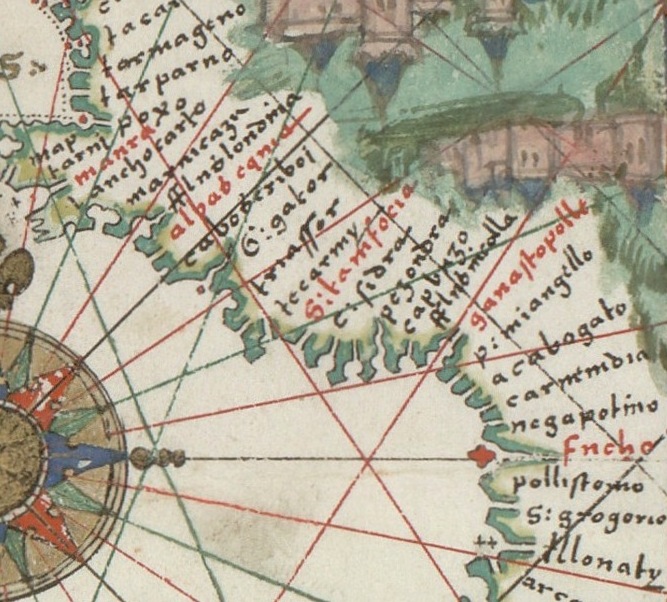
(Chart of the Mediterranean, Black Sea, and the coasts of western Europe and northwest Africa)
Title devised by cataloguer. Catalan titles for illustrations. Latin statement of responsibility. Oriented with north to the right. Contains 5 wind roses. LC Nautical charts on vellum, 7. Pen-and-ink and goauche. Includes 2 bar scales in unidentified units, and many illustrations throughout.
- Date
- 1559
- Mapmaker / publisher
- Prunes, Mateus
- Place
- the Mediterranean Sea
- Archive
- Library of Congress (via Wikimedia Commons)
- Type
- chart
- Original size
- 11,503 × 16,180 pixels
Public domainsafest
Reason: its maker died more than 100 years ago.
Read from: Commons licence category: PD-old-100-expired; no CC BY, CC BY-SA, GFDL or deletion tag on the file page.
Credit line
"(Chart of the Mediterranean, Black Sea, and the coasts of western Europe and northwest Africa)" (1559). Prunes, Mateus. Library of Congress, Geography and Map Division, via Wikimedia Commons. Public domain. https://commons.wikimedia.org/wiki/File:(Chart_of_the_Mediterranean,_Black_Sea,_and_the_coasts_of_western_Europe_and_northwest_Africa)_LOC_2014588812.jpgNeed maps for a whole project? Add Find Any Map to Claude and ask for this one by its id: 5625.
More like this

(Portolan chart of the Mediterranean and Black Seas with the west coast of Spain and Portugal)
1575 · Library of Congress

(Portolan chart of the Mediterranean, the Black Sea, and the coasts of Europe and northwest Africa).
Library of Congress

Prunes 1559 Chart of the Mediterranean, Black Sea, and the coasts of western Europe and northwest Africa master-gmd-gmd5-g5672-g5672m-ct002457
December 31, 1559 · Library of Congress

Portolan chart of the Mediterranean and connecting seas.
1550 · Library of Congress

Portolan chart of the Mediterranean Sea, the North Atlantic Ocean, the Black Sea, and the northwestern African coast.Attributed to the circle of Vesconte Maggiolo
c. 1550 · Wikimedia Commons

Chart of the Mediterranean, the coast of Portugal, and the northwest coast of Africa
1678 · Library of Congress

Carte de l'Océan Atlantique Nord-Est, de la Mer Méditerranée, de la Mer Noire et d'une partie de la Mer Rouge / Matheus Prunes in civitate majoricarum anno 1586
1586 · Wikimedia Commons
Europe and northern Africa. HM 29. PORTOLAN ATLAS, anonymous (Dieppe, 1547).G
1547 · Wikimedia Commons