

Polyglot Maps of the Continents
Hensel Polyglot
(Full Title) Asia Polyglotta, Linguarum Genealogiam cum Literis, scribundique Modis exhibens; Europa Polyglotta, Linguarum Genealogiam exhibens, una cum Literis, scribendique modis, omnium gentium; Africa Polyglotta Scribendi Modos Gentium exhibens; America cum Supplementis Polyglottis.
- Date
- 1741
- Mapmaker / publisher
- Hensel, Gottfried
- Archive
- Wikimedia Commons
- Type
- map
- Original size
- 6,333 × 5,440 pixels
Public domainsafest
Reason: its maker died more than 100 years ago.
Read from: Commons licence category: PD-old-100-expired; no CC BY, CC BY-SA, GFDL or deletion tag on the file page.
Credit line
"Polyglot Maps of the Continents" (1741). Hensel, Gottfried, via Wikimedia Commons. Public domain. https://commons.wikimedia.org/wiki/File:Hensel_Polyglot,_Maps_of_the_Continents_1741_Cornell_CUL_PJM_1022_01.jpgNeed maps for a whole project? Add Find Any Map to Claude and ask for this one by its id: 139164.
More like this

1746 map of Europe showing the distribution of languages
1746 · Wikimedia Commons
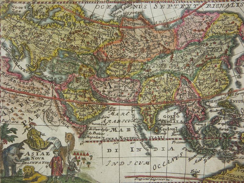
Africa Asia Persia India China Map in 1735 by Veith
1735 · Wikimedia Commons

Mappa Mundi Generalis
Johann Christian Rhode

Map of the primal divisions of the world, 1719
1719 · Wikimedia Commons

La America - dispuesta segun el Sistema de Mr. Hasius Profesor de Mathematicas en la Vniversidad de Witembergo, añadidos los ultimos descubrimientos por M. de Lisle
1754 · Library of Congress

Planiglobium Terrestre Minus
Johann Baptist Homann

Typus Totius Orbis Terraquei Geographice Delineatus, Et Ad Usum Globo Materiali Superinducendus
1700 · Wikimedia Commons

Descriptio Terrarum in quas dispersi sunt Structores turris Babel
Wikimedia Commons