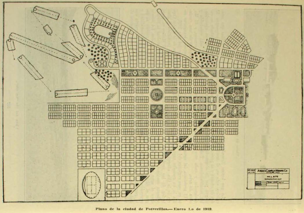

Plano de Potrerillos 1919
- Date
- 1919
- Place
- cities in Chile
- Archive
- Wikimedia Commons
- Type
- map
- Original size
- 1,049 × 736 pixels
Public domain
Reason: its maker died long enough ago that the copyright has expired.
This status rests on the map's publication history, as researched by Wikimedia Commons. Check it before commercial use.
Read from: Commons licence category: PD Old; no CC BY, CC BY-SA, GFDL or deletion tag on the file page.
Credit line
"Plano de Potrerillos 1919" (1919). Wikimedia Commons. Public domain. https://commons.wikimedia.org/wiki/File:Plano_de_Potrerillos_1919.JPGNeed maps for a whole project? Add Find Any Map to Claude and ask for this one by its id: 307192.
More like this

Plano de la ciudad de Copiapó en Atacama, Chile de 1892
1892 · Wikimedia Commons

Calama 1900
1900 · Wikimedia Commons

First Map of Neuquen, Argentina
1904 · Wikimedia Commons

Puerto Varas 1924
1924 · Wikimedia Commons

Plans of Inland Towns -3
1919 · Wikimedia Commons

Croquis de la Puna de Atacama
1899 · Wikimedia Commons

Rosa de los Andes 1903
1903 · Wikimedia Commons

Sanborn Fire Insurance Map from Morenci, Greenlee County, Arizona, 1911, volume 3
1911 · 7 sheets