

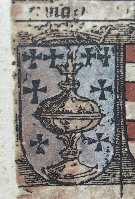
Páni z Weitmile - erb
- Mapmaker / publisher
- Mikuláš Klaudyán († 1521)
- Archive
- Wikimedia Commons
- Type
- map
- Original size
- 716 × 698 pixels
Public domain
Reason: its maker died more than 100 years ago.
This status rests on the map's publication history, as researched by Wikimedia Commons. Check it before commercial use.
Read from: Commons licence category: PD-old-100-expired; no CC BY, CC BY-SA, GFDL or deletion tag on the file page.
Credit line
"Páni z Weitmile - erb". Mikuláš Klaudyán († 1521), via Wikimedia Commons. Public domain. https://commons.wikimedia.org/wiki/File:P%C3%A1ni_z_Weitmile_-_erb.jpgNeed maps for a whole project? Add Find Any Map to Claude and ask for this one by its id: 254191.
More like this

Páni ze Šelmberka - erb
Wikimedia Commons

Gutštejnové erb
May 22, 2017 · Wikimedia Commons

1518:en:Klaudyán map of Bohemia.
1518 · Wikimedia Commons

Cosmographia (Sebastian Münster) p 090
Wikimedia Commons

print, book-illustration, map
1544–1552 · BM 1982,U.2441

Map of Central Europa of Nikolas Cusa
1491 · Wikimedia Commons
Reino de Galicia - Martin Waldseemueller
1520 · Wikimedia Commons

Map of Bohemia (Czech Republic) (1600) northwest
1600 · Wikimedia Commons