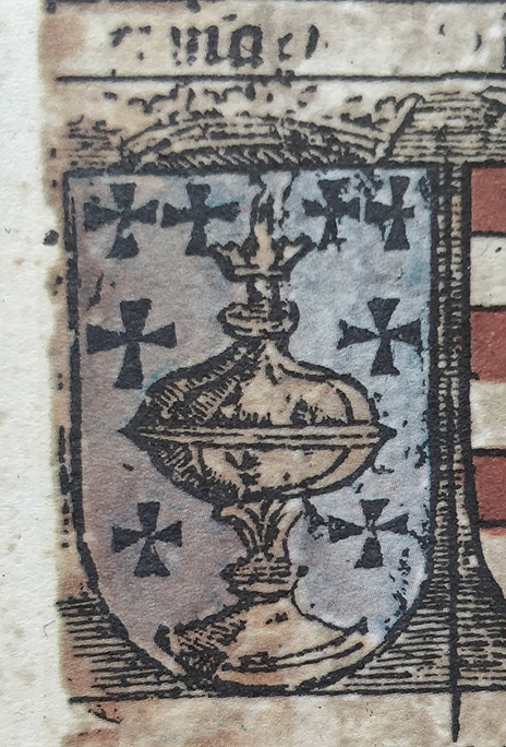

Reino de Galicia - Martin Waldseemueller
Coat of arms of the kingdom of Galicia in the Carta Itineraria Europae.
- Date
- 1520
- Archive
- Wikimedia Commons
- Type
- map
- Original size
- 464 × 684 pixels
Public domainsafest
Reason: its maker died more than 100 years ago.
Read from: Commons licence category: PD-old-100-expired; no CC BY, CC BY-SA, GFDL or deletion tag on the file page.
Credit line
"Reino de Galicia - Martin Waldseemueller" (1520). Wikimedia Commons. Public domain. https://commons.wikimedia.org/wiki/File:Reino_de_Galicia_-_Martin_Waldseemueller.jpgNeed maps for a whole project? Add Find Any Map to Claude and ask for this one by its id: 252042.
More like this

Carta itineraria europae 1520 waldseemueller watermarked
1520 · Wikimedia Commons

Sheet 3 of the portolan chart of Angelino de Dalorto.
1325–1330 · Wikimedia Commons

Península Ibérica no portolano de Guillem Soler (c. 1380)
c. 1380 · Wikimedia Commons

1320 Pietro Vesconte (Liber Secretorum de Marino Sanuto) Norte Peninsula Iberica
c. 1320 · Wikimedia Commons

Península Ibérica no mapa-múndi de Paulinus Venetus (c. 1320)
c. 1320 · Wikimedia Commons

Galletia Ravenna mappa mundi, c.650
1898 · Wikimedia Commons

1420 Salustio de Ginebra Peninsula Iberica
1420 · Wikimedia Commons

Mapa de Borgia XV noroeste Peninsula Iberica
Wikimedia Commons