

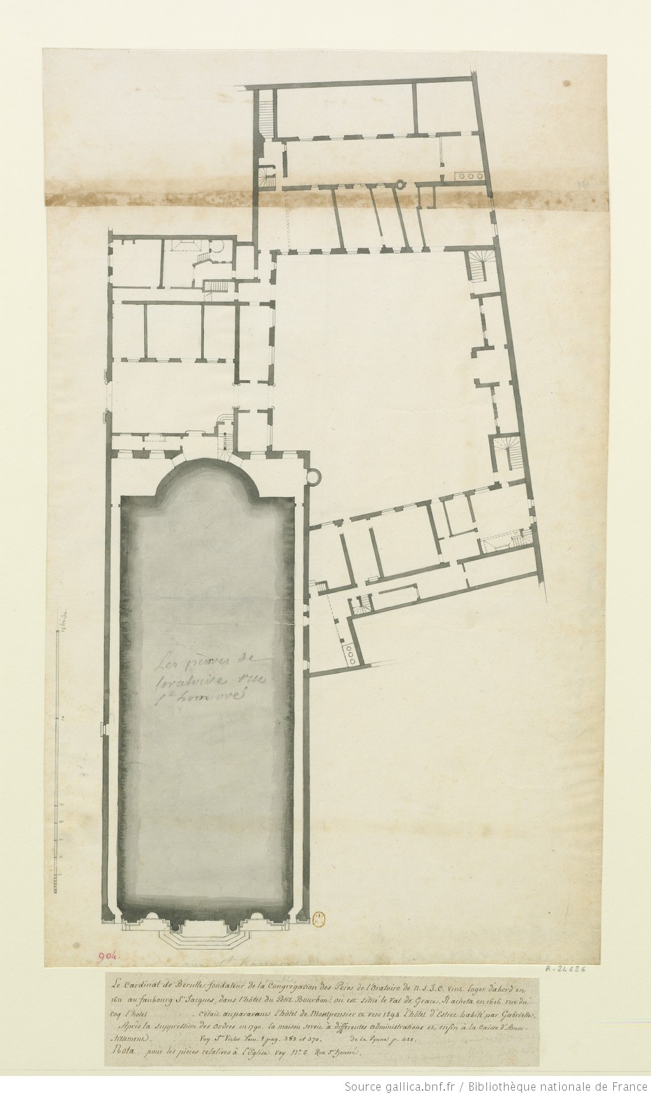
OratoireplanTurgot
- Date
- 1739
- Mapmaker / publisher
- Fragment du plan Turgot, 1739
- Archive
- Wikimedia Commons
- Type
- map
- Original size
- 1,772 × 1,044 pixels
Public domainsafest
Reason: its maker died more than 70 years ago.
Read from: Commons licence category: PD-old-70-expired; no CC BY, CC BY-SA, GFDL or deletion tag on the file page.
Credit line
"OratoireplanTurgot" (1739). Fragment du plan Turgot, 1739, via Wikimedia Commons. Public domain. https://commons.wikimedia.org/wiki/File:OratoireplanTurgot.pngNeed maps for a whole project? Add Find Any Map to Claude and ask for this one by its id: 299738.
More like this
CadastreCouventOratoire
1810 · Wikimedia Commons

Palais-Royal and its small Place before the Rue de Rivoli was opened, Detail of an engraved map of Paris, 18th century
Wikimedia Commons

Extrait du plan de Nicolas de Fer d'après Jouvin de 1676
1676 · Wikimedia Commons

Soissons1734d
Wikimedia Commons

Hotel de Longueville sur le plan de Turgot
1736 · Wikimedia Commons

Quartier du Temple, en 1734, facsimilierter Stich, Ausschnitt aus dem sog. Plan Turgot
1882 · Wikimedia Commons

Chapelle St Yves sur le Plan de Turgot
Wikimedia Commons

Détail du plan de Boisseau (rue au Maire - rue du Grenier St Ladre)
1648 · Wikimedia Commons