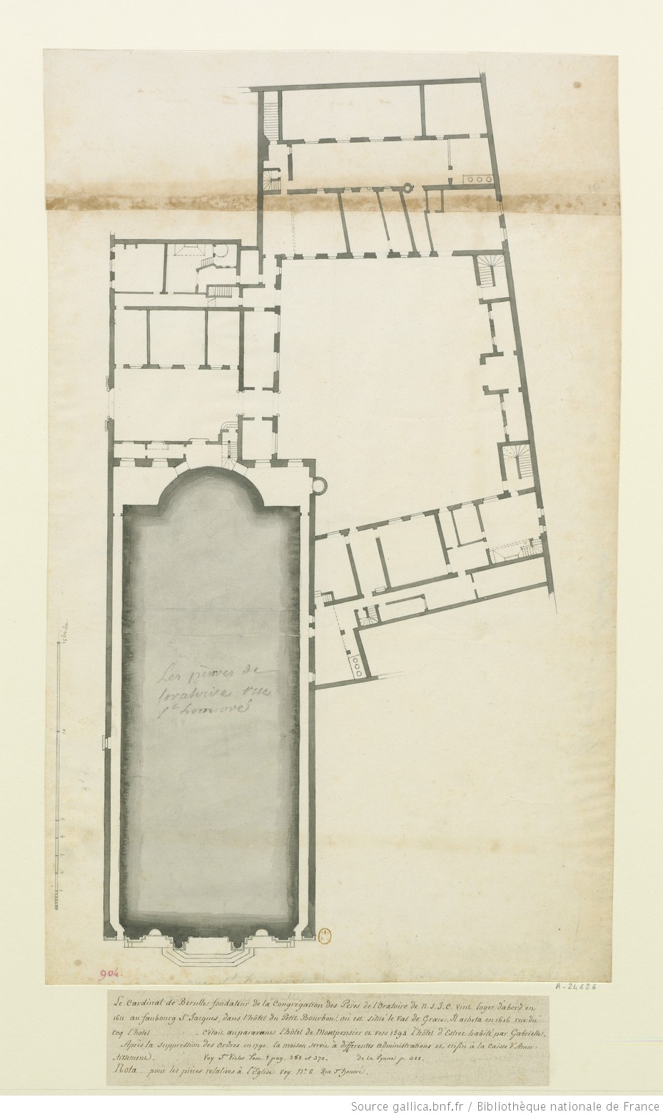

CadastreCouventOratoire
- Date
- 1810
- Mapmaker / publisher
- Robert de Cotte
- Archive
- Wikimedia Commons
- Type
- map
- Original size
- 929 × 1,565 pixels
Public domainsafest
Reason: its maker died more than 70 years ago.
Read from: Commons licence category: PD-old-70-expired; no CC BY, CC BY-SA, GFDL or deletion tag on the file page.
Credit line
"CadastreCouventOratoire" (1810). Robert de Cotte, via Wikimedia Commons. Public domain. https://commons.wikimedia.org/wiki/File:CadastreCouventOratoire.jpgNeed maps for a whole project? Add Find Any Map to Claude and ask for this one by its id: 299716.
More like this

OratoireplanTurgot
1739 · Wikimedia Commons

CadastreOratoire1810
January 8, 1910 · Wikimedia Commons

Plan de l'emplacement de l'ancien Couvent des Capucines transféré rue Neuve des Capucines en 1689: dessin
1686 · Plate 1 of 2

Plans généraux des prisons et maisons d'arrêt du département de la Seine, adoptés par les divers ministres de l'intérieur qui se sont succédés et par les administrations centrales / composés en 1791 et 1792 par P. Giraud, architecte des prisons; Au citoyen Frochot, préfet du département de la Seine
1802 · Plate 41 of 51

Paris ancien et nouveau. La maison professe de la Cte de Jésus, rue Saint-Antoine du XVIe au XIXe siècle, et ses alentours. Plan de restitution P. L. S. J.
1874 · Wikimedia Commons

Plan du palais abbatial de St Germain des Prez: dessin
1704 · Plate 1 of 2

Autre plan des terrains sur la rue Neuve-du-Luxembourg: dessin
1743 · Plate 1 of 2

Palais-Royal and its small Place before the Rue de Rivoli was opened, Detail of an engraved map of Paris, 18th century
Wikimedia Commons