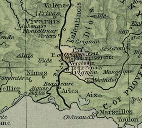

Oranje1601
- Date
- 1926
- Place
- Comtat Venaissin
- Archive
- Wikimedia Commons
- Type
- atlas page
- Original size
- 454 × 410 pixels
Public domainsafest
Reason: its US copyright was not renewed (published 1931–1963).
Read from: Commons licence category: PD US not renewed; no CC BY, CC BY-SA, GFDL or deletion tag on the file page.
Credit line
"Oranje1601" (1926). Wikimedia Commons. Public domain. https://commons.wikimedia.org/wiki/File:Oranje1601.pngNeed maps for a whole project? Add Find Any Map to Claude and ask for this one by its id: 252398.
More like this
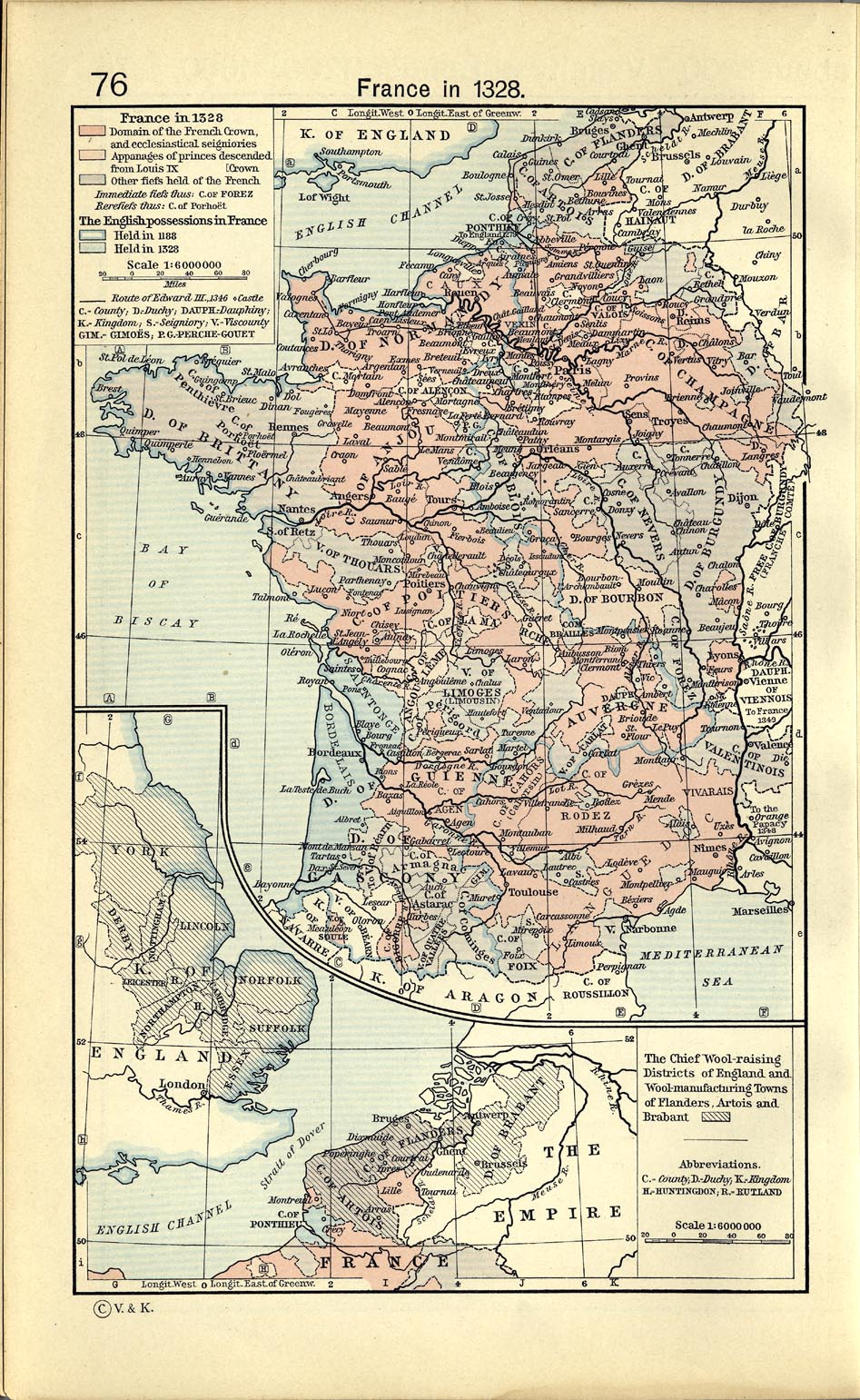
Shepherd-c-076
1911 · Wikimedia Commons

Shepherd-c-061
1911 · Wikimedia Commons

The Holy Roman Empire under the Hohenstaufen, 1138-1254
1926 · Wikimedia Commons

Segment of a map from the atlas.
1911 · 2 sheets

Central Europe in 1547
1926 · Wikimedia Commons

C. 1378 Central Europe
c. 1911 · Wikimedia Commons

Central Europe, 919-1125
1923 · Wikimedia Commons

Allgemeiner historischer Handatlas - Deutschland im 14. Jahrhundert
1886 · Wikimedia Commons