

Central Europe, 919-1125
- Date
- 1923
- Mapmaker / publisher
- William R. Shepherd (died 1934)
- Place
- the Holy Roman Empire from Historical Atlas by William R. Shepherd
- Archive
- Wikimedia Commons
- Type
- atlas page
- Original size
- 2,281 × 1,801 pixels
Public domainsafest
Reason: its US copyright was not renewed (published 1931–1963).
Read from: Commons licence category: PD US not renewed; no CC BY, CC BY-SA, GFDL or deletion tag on the file page; permission field: Public domain.
Credit line
"Central Europe, 919-1125" (1923). William R. Shepherd (died 1934), via Wikimedia Commons. Public domain. https://commons.wikimedia.org/wiki/File:Central_Europe,_919-1125.jpgNeed maps for a whole project? Add Find Any Map to Claude and ask for this one by its id: 19699.
More like this

Shepherd Holy Roman Empire Hohenstaufen 1138-1254
1926 · Wikimedia Commons

Germany at the time of the Saxon and Frankish emperors (F.W. Putzger)
1877 · Wikimedia Commons

The Holy Roman Empire under the Hohenstaufen, 1138-1254
1926 · Wikimedia Commons

F.W. Putzgers Historischer Schul-Atlas: zur alten, mittleren und neuen Geschichte: in 66 Haupt- und 63 Nebenkarten
Wikimedia Commons

Germany at the time of the Saxon and Frankish emperors (Putzger)
1877 · Wikimedia Commons

Europe and the Mediterranean Lands about 1097
1911 · Wikimedia Commons

Germany in the year 1000 (Droysen)
1886 · Wikimedia Commons
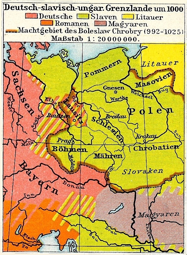
Germanisch-Slawisch-Ungarisches Mitteleuropa um 1000
Wikimedia Commons