

NJ 47 Hsi-ning
A map of the eastern Qaidam Basin, Qinghai Lake, and the area around Xining, Qinghai, China. Names given in Chinese using Wade–Giles romanization. Elevation given in meters above sea level.
- Date
- 1975
- Mapmaker / publisher
- Topographic Center of the United States Defense Mapping Agency
- Place
- Qinghai
- Archive
- Wikimedia Commons
- Type
- map
- Original size
- 4,740 × 5,159 pixels
Public domainsafest
Reason: a US government work.
Read from: Commons licence category: PD US Government; no CC BY, CC BY-SA, GFDL or deletion tag on the file page.
Credit line
"NJ 47 Hsi-ning" (1975). Topographic Center of the United States Defense Mapping Agency, via Wikimedia Commons. Public domain. https://commons.wikimedia.org/wiki/File:NJ_47_Hsi-ning.jpgNeed maps for a whole project? Add Find Any Map to Claude and ask for this one by its id: 243068.
More like this

NJ-46 Ko-erh-mu
1975 · Wikimedia Commons

Map from the International Map of the World 1:1,000,000
Wikimedia Commons

China, administrative divisions
1969 · Qinghai, plate 24

Map of Qiqihar (Ch'i-ch'i-ha-erh, Tsitsihar), Heilongjiang and surrounding area from the International Map of the World 1:1,000,000
1975–1978 · Wikimedia Commons

Map of Urumqi (Wu-lu-mu-ch'i) area, Xinjiang, China
Wikimedia Commons
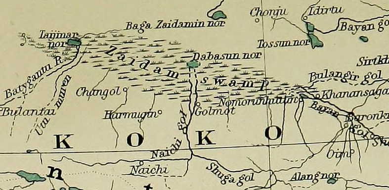
Zaidam Swamp
1917 · Wikimedia Commons

Map of (Tʻai-yüan), Shaanxi (Shan-hsi, Shansi), China and surrounding region from the Joint Operations Graphics, Series 1501, 1:250,000 and the 1:1,000,000
1501 · Wikimedia Commons

NI 50 Nan-ching China Series 1301, Edition 7-DMATC (5.3 MB) (Nan-ching), Jiangsu, China and surrounding region from the Joint Operations Graphics, Series 1501, 1:250,000 and the 1:1,000,000
1301 · Wikimedia Commons