

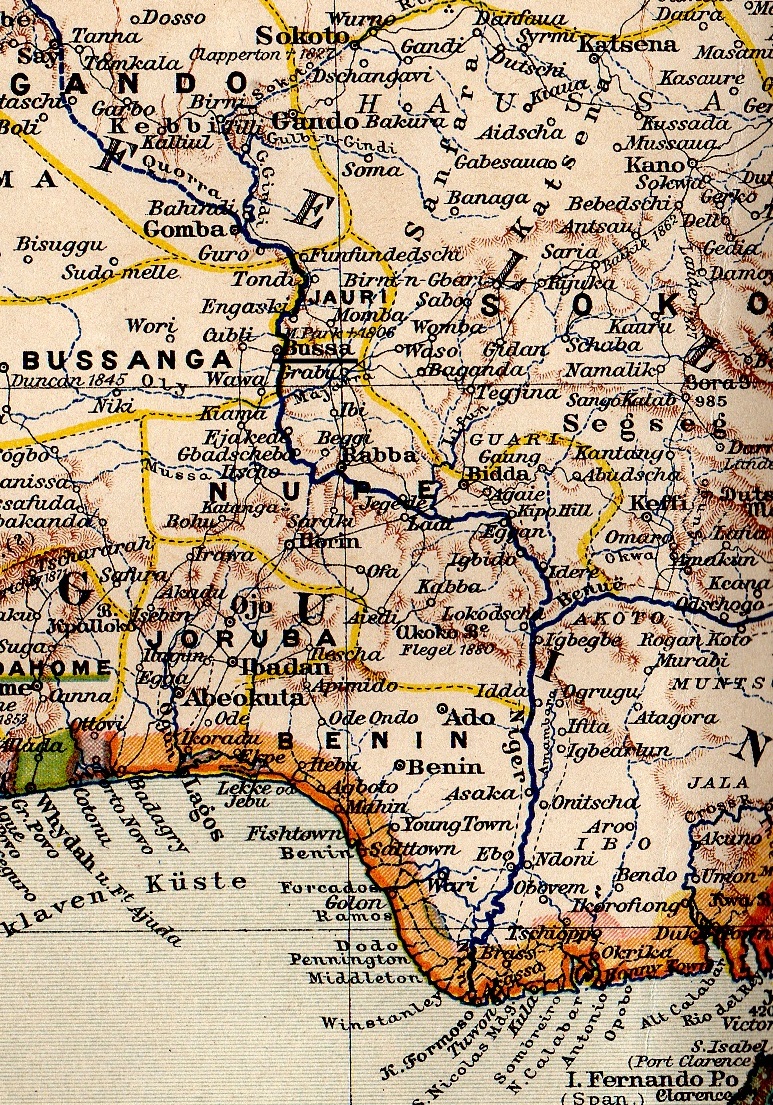
NigeriaOccidental1907
- Date
- 1907
- Mapmaker / publisher
- Bibliographisches Institut in Leipzig
- Place
- Africa
- Archive
- Wikimedia Commons
- Type
- map
- Original size
- 985 × 1,214 pixels
Public domain
Reason: its maker died long enough ago that the copyright has expired.
This status rests on the map's publication history, as researched by Wikimedia Commons. Check it before commercial use.
Read from: Commons licence category: PD Old; no CC BY, CC BY-SA, GFDL or deletion tag on the file page.
Credit line
"NigeriaOccidental1907" (1907). Bibliographisches Institut in Leipzig, via Wikimedia Commons. Public domain. https://commons.wikimedia.org/wiki/File:NigeriaOccidental1907.jpgNeed maps for a whole project? Add Find Any Map to Claude and ask for this one by its id: 237579.
More like this

"Map to Illustrate the Question of the Niger" (1:4,435,200). Detail of: Maps to Illustrate the Niger and Upper Nile Questions Author: W. & A. K. Johnston Publisher: Johnston, W. & A. K. Date: 1898 Loc
1898 · Wikimedia Commons
BasNiger1889 Boussa
1889 · Wikimedia Commons

Map showing European territorial claims in West Africa (1898) 01
1898 · Wikimedia Commons

West Africa: Map to illustrate Mr. A. Millson's Paper on the Yoruba Country
1891 · Wikimedia Commons

Le Bas Niger
1896 · Wikimedia Commons

Carte de l'Afrique occidentale française / dressée par A. Meunier et E. Barralier, 1903; Ministère des colonies. Service géographique et des missions. M. Barbotin, chef du service
1904 · Benin, Dressée par A. Meunier et E. Barralier, 1903 ; Ministère des colonies. Service géographique et des missions. M. Barbotin, chef du service, plate 5 of 6

Afrique Occidentale-III-Dahomey
1899 · Wikimedia Commons

Golf von Guinea um 1890
1891 · Wikimedia Commons