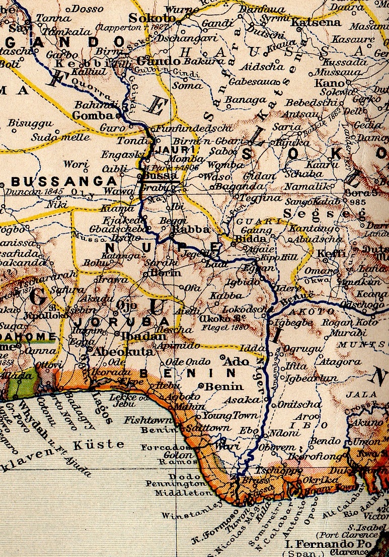

BasNiger1889 Boussa
- Date
- 1889
- Mapmaker / publisher
- Bibliographisches Institut in Leipzig
- Place
- Africa
- Archive
- Wikimedia Commons
- Type
- map
- Original size
- 773 × 1,105 pixels
Public domain
Reason: its maker died long enough ago that the copyright has expired.
This status rests on the map's publication history, as researched by Wikimedia Commons. Check it before commercial use.
Read from: Commons licence category: PD Old; no CC BY, CC BY-SA, GFDL or deletion tag on the file page.
Credit line
"BasNiger1889 Boussa" (1889). Bibliographisches Institut in Leipzig, via Wikimedia Commons. Public domain. https://commons.wikimedia.org/wiki/File:BasNiger1889_Boussa.jpgNeed maps for a whole project? Add Find Any Map to Claude and ask for this one by its id: 237040.
More like this

Le Bas-Niger
1892 · Wikimedia Commons

Le Bas Niger
1896 · Wikimedia Commons

Côte d'Ivoire 1889
1889 · Wikimedia Commons

Stielers Handatlas 1891 68 Magaria
1891 · Wikimedia Commons

NigeriaOccidental1907
1907 · Wikimedia Commons

Carte du Haut-Niger au golfe de Guinée par le pays de Kong et le Mossi, levée et dressée de 1887 à 1889 par L.-G. Binger
1891 · Wikimedia Commons

Meyers b3 s0758 b1
c. 1885 · Wikimedia Commons

Sénégal et Niger
1889 · Wikimedia Commons