

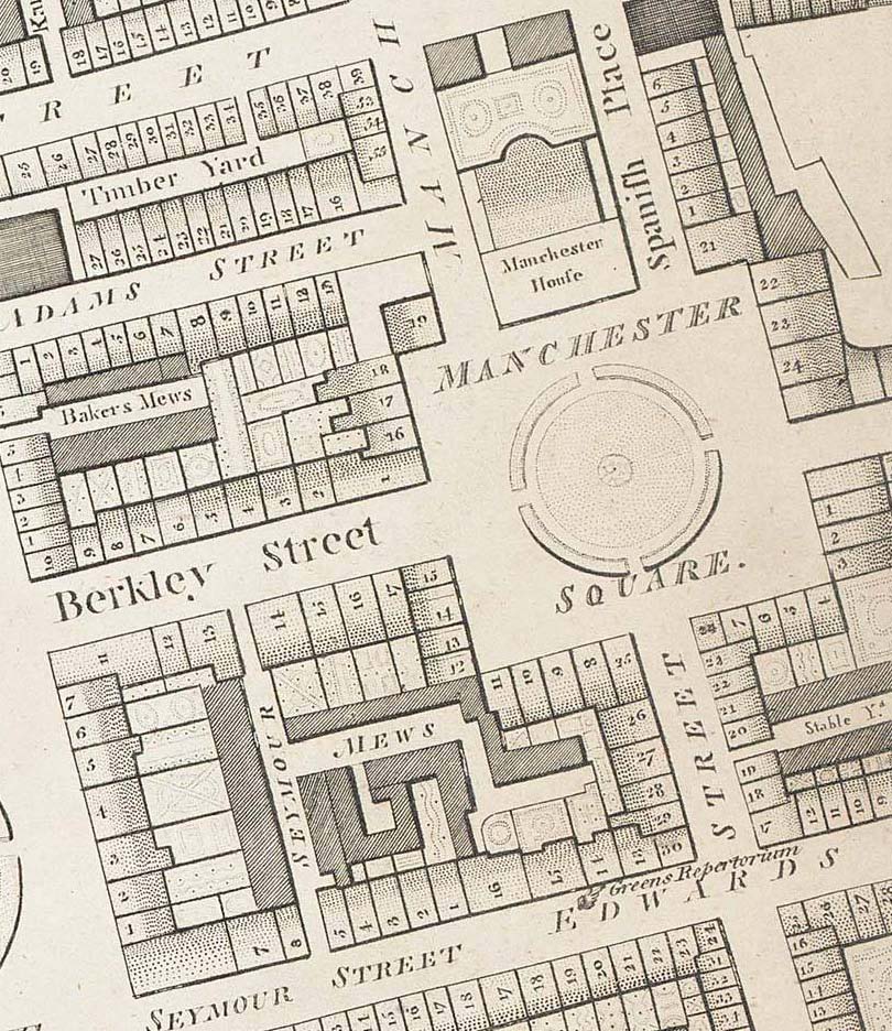
Mount Street Gardens old map
- Place
- the City of Westminster
- Archive
- Wikimedia Commons
- Type
- map
- Original size
- 1,000 × 1,230 pixels
Public domain
Reason: its maker died long enough ago that the copyright has expired.
This status rests on the map's publication history, as researched by Wikimedia Commons. Check it before commercial use.
Read from: Commons licence category: PD Old; no CC BY, CC BY-SA, GFDL or deletion tag on the file page.
Credit line
"Mount Street Gardens old map". Wikimedia Commons. Public domain. https://commons.wikimedia.org/wiki/File:Mount_Street_Gardens_old_map.jpgNeed maps for a whole project? Add Find Any Map to Claude and ask for this one by its id: 293149.
More like this
Manchester Square 1799 edited
1799 · Wikimedia Commons

Plan of the Parish of St. Margaret, Westminster From Lea & Morden's Map 1690
1690 · Wikimedia Commons

Parish of St George, Hanover Square, created in 1725, pen and ink on paper, British Library
1730 · Wikimedia Commons

Image taken from page 31 of 'Old and New London, etc'
1873–1887 · Wikimedia Commons

Image taken from page 163 of 'Old and New London, etc'
1873–1887 · Wikimedia Commons

Greenwood 1827 cropped
1827 · Wikimedia Commons

ChesterfieldHouse1799
Wikimedia Commons

Image taken from page 631 of 'Old and New London, etc'
1873–1887 · Wikimedia Commons