

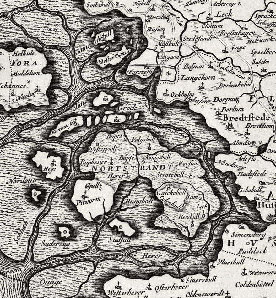
Mejers Sylt
- Date
- 17th century
- Mapmaker / publisher
- abfotografiert von Agnete
- Place
- Schleswig-Holstein
- Archive
- Wikimedia Commons
- Type
- map
- Original size
- 1,024 × 1,447 pixels
Public domain
Reason: its maker died long enough ago that the copyright has expired.
This status rests on the map's publication history, as researched by Wikimedia Commons. Check it before commercial use.
Read from: Commons licence category: PD Old; no CC BY, CC BY-SA, GFDL or deletion tag on the file page.
Credit line
"Mejers Sylt" (17th century). abfotografiert von Agnete, via Wikimedia Commons. Public domain. https://commons.wikimedia.org/wiki/File:Mejers_Sylt.jpgNeed maps for a whole project? Add Find Any Map to Claude and ask for this one by its id: 252963.
More like this

Gotteskoog
17th century · Wikimedia Commons

Tabula nova in qua accuratè demonstratur tota navigatio ab Amstelodami statione per Vada vulgo de Watten Hamburgum usque
1686–1719 · Wikimedia Commons
Halligen 1650
1650 · Wikimedia Commons

Helgoland 1757
1756 · Wikimedia Commons

Totius Iutiae generalis accurata delincatio
1601–1700 · Wikimedia Commons

CCI21062015 0000x
17th century · Wikimedia Commons

Selandiae in regno Daniae insulae chorographica descriptio
1601–1700 · Wikimedia Commons

Novissima Islandiae tabula
1663–1683 · Wikimedia Commons