

Helgoland 1757
Karte von Helgoland 1757. Ausschnitt aus Stich der Nordseemündung.
- Date
- 1756
- Mapmaker / publisher
- Hiller 1756, verbessert 1757 durch Stromberg
- Place
- Schleswig-Holstein
- Archive
- Wikimedia Commons
- Type
- map
- Original size
- 1,506 × 1,013 pixels
Public domain
Reason: its maker died long enough ago that the copyright has expired.
This status rests on the map's publication history, as researched by Wikimedia Commons. Check it before commercial use.
Read from: Commons licence category: PD Old; no CC BY, CC BY-SA, GFDL or deletion tag on the file page.
Credit line
"Helgoland 1757" (1756). Hiller 1756, verbessert 1757 durch Stromberg, via Wikimedia Commons. Public domain. https://commons.wikimedia.org/wiki/File:Helgoland_1757.jpgNeed maps for a whole project? Add Find Any Map to Claude and ask for this one by its id: 253248.
More like this

1855 bird's eye view of Heligoland by the British War Department
1855 · Wikimedia Commons

Helgoland - Vogelperspektive (1890-1900)
1890 · Library of Congress

Mejers Sylt
17th century · Wikimedia Commons

Helgoland, Germany, ca 1890-1900
1890 · Library of Congress

Map of St. Helena, 1719
1683–1719 · Wikimedia Commons
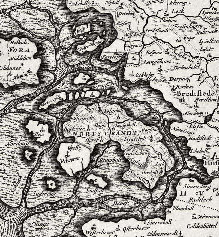
Halligen 1650
1650 · Wikimedia Commons

A chart of EEMS ELVE, Wefer, Eyder and Hever. With the Holy Island; Atlases, gazetteers, guidebooks and other books / The sea-atlas: containing an hydrographical description of most of the sea-coasts
1702–1707 · New York Public Library

Map of St. Helena, 1685
1683–1719 · Wikimedia Commons