

Mare aux Songes
encircled on a map of the Mauritian railway system in 1866
- Date
- 1869
- Mapmaker / publisher
- Mosse
- Place
- Mauritius
- Archive
- Wikimedia Commons
- Type
- map
- Original size
- 1,377 × 963 pixels
Public domain
Reason: its maker died long enough ago that the copyright has expired.
This status rests on the map's publication history, as researched by Wikimedia Commons. Check it before commercial use.
Read from: Commons licence category: PD Old; no CC BY, CC BY-SA, GFDL or deletion tag on the file page.
Credit line
"Mare aux Songes" (1869). Mosse, via Wikimedia Commons. Public domain. https://commons.wikimedia.org/wiki/File:Mare_aux_Songes.jpgNeed maps for a whole project? Add Find Any Map to Claude and ask for this one by its id: 238975.
More like this

Map of Mauritius
1888 · Wikimedia Commons

Le Tour du monde-07-p131
1863 · Mauritius, plate 131
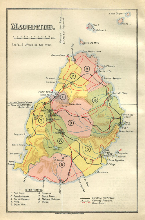
Mauritius Waterlow map 1910
1910 · Wikimedia Commons

Mauritius 1880 map by Descubes
1880 · Wikimedia Commons

Isle Maurice
Wikimedia Commons

Quartier du Grand Port
Wikimedia Commons

Quartier des plaines de Wilheems
Wikimedia Commons

Quartier de la riviere basse du rempart
Wikimedia Commons