

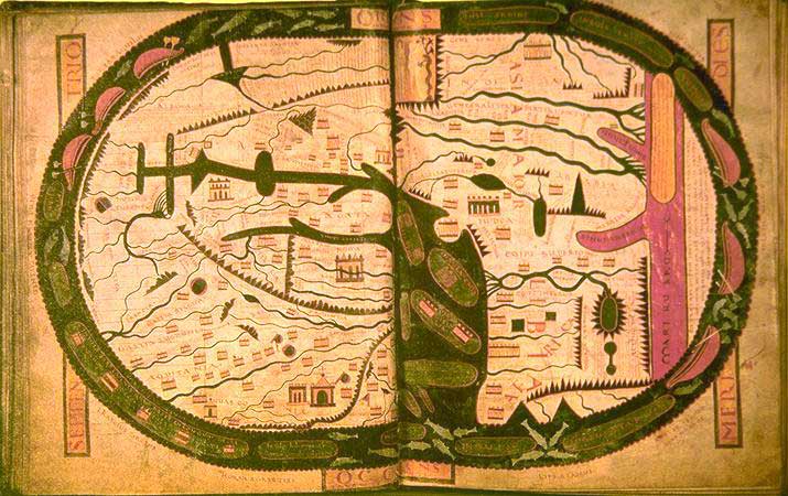
Mappemonde-XIe-siecle medium
- Mapmaker / publisher
- Illustrated by Stephanus Garsia (and other unnamed)
- Archive
- Wikimedia Commons
- Type
- map
- Original size
- 1,483 × 998 pixels
Public domain
Reason: its maker died more than 70 years ago, and a faithful scan of a flat work adds no new copyright.
This status rests on the map's publication history, as researched by Wikimedia Commons. Check it before commercial use.
Read from: Commons licence category: PD-Art (PD-old-70); no CC BY, CC BY-SA, GFDL or deletion tag on the file page.
Credit line
"Mappemonde-XIe-siecle medium". Illustrated by Stephanus Garsia (and other unnamed), via Wikimedia Commons. Public domain. https://commons.wikimedia.org/wiki/File:Mappemonde-XIe-siecle_medium.jpgNeed maps for a whole project? Add Find Any Map to Claude and ask for this one by its id: 139584.
More like this

Beatova mapa Saint-Sever
Wikimedia Commons
World map.
Wikimedia Commons

WesternEurope BeatusOsma
Wikimedia Commons

Mapamundi del Beato de Gerona f. 54v-55r
Wikimedia Commons

Mappemonde supposée au Xe siècle et qui se trouve dans un ms (Apocalypse du XIIe s. de la bibliothèque royale de Turin)
1842 · Wikimedia Commons

Facsimile of the Mappa mundi of Saint-Sever Beatus
1896 · Wikimedia Commons

Jomard Dix mappemondes des Xe, XIIIe, et XIVe siècles
1864 · Wikimedia Commons

Nordenskiöld 1897 Figure 03 Image 026
1897 · Library of Congress