

Map of the North Sea
WWI map from the collections of the National Library of Wales
- Archive
- Wikimedia Commons
- Type
- map
- Original size
- 5,000 × 3,675 pixels
Public domain
Reason: its maker died more than 100 years ago.
This status rests on the map's publication history, as researched by Wikimedia Commons. Check it before commercial use.
Read from: Commons licence category: PD-old-100-expired; no CC BY, CC BY-SA, GFDL or deletion tag on the file page.
Credit line
"Map of the North Sea". Wikimedia Commons. Public domain. https://commons.wikimedia.org/wiki/File:Map_of_the_North_Sea_(5003813).jpgNeed maps for a whole project? Add Find Any Map to Claude and ask for this one by its id: 23063.
More like this

Strategical map of the North Sea and adjacent countries
Wikimedia Commons

WWI map from the collections of the National Library of Wales
2 sheets

Bacon's map of the seat of war in North Sea, Belgium and Eastern France
Wikimedia Commons
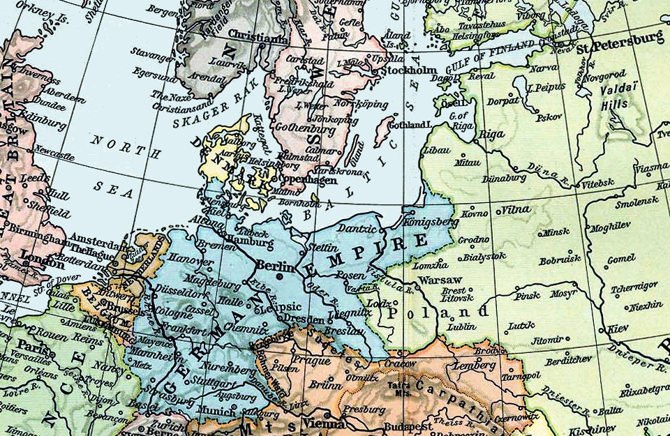
North and Baltic Seas, 1911
1911 · Wikimedia Commons

The National Review map of the western front
Wikimedia Commons

Western Theatre of war
Wikimedia Commons

Birmingham Gazette war map
Wikimedia Commons

A chart of the North Sea
1784 · Wikimedia Commons