

Map of Lower Orinoco pub. 1897
Map of Lower:en:Orinoco Published in 1897 - no copyright.
- Date
- 1897
- Place
- Orinoco Delta
- Archive
- Wikimedia Commons
- Type
- map
- Original size
- 1,014 × 747 pixels
Public domain
Reason: its maker died long enough ago that the copyright has expired.
This status rests on the map's publication history, as researched by Wikimedia Commons. Check it before commercial use.
Read from: Commons licence category: PD Old; no CC BY, CC BY-SA, GFDL or deletion tag on the file page.
Credit line
"Map of Lower Orinoco pub. 1897" (1897). Wikimedia Commons. Public domain. https://commons.wikimedia.org/wiki/File:Map_of_Lower_Orinoco_pub._1897.jpgNeed maps for a whole project? Add Find Any Map to Claude and ask for this one by its id: 306950.
More like this

Lower Mississippi River Map
1904 · Wikimedia Commons

Darlinton map of the Orinoco River 1680
1680 · Wikimedia Commons

Lower Mississippi River Map - Lafourche country
1904 · Wikimedia Commons

Dutch colonies Guyana
1888 · Wikimedia Commons

Mahmud Pasha al-Falaki’s map of the Lower Egypt
1872 · Wikimedia Commons
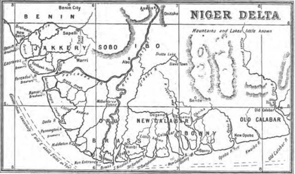
1898 Map of the Niger Delta by Harold Bindloss
1898 · Wikimedia Commons

Mapa de una parte de Venezuela y de la Guayana Britanica
1896 · Wikimedia Commons

Orinoco, nuebamente obserbado en bajante, afin de espresar sus raudales, yslas y bajos, rios y caños que vezibe - año 1732.
1732 · Library of Congress