

Map of Friedrichstadt about 1750, water outlets marked
- Date
- 1750–2016
- Mapmaker / publisher
- G. I. E. Coch (original graphic); screenshot & upload Ulamm ( )
- Place
- Schleswig-Holstein
- Archive
- Wikimedia Commons
- Type
- map
- Original size
- 957 × 802 pixels
Public domain
Reason: its maker died more than 100 years ago.
This status rests on the map's publication history, as researched by Wikimedia Commons. Check it before commercial use.
Read from: Commons licence category: PD-old-100-expired; no CC BY, CC BY-SA, GFDL or deletion tag on the file page.
Credit line
"Map of Friedrichstadt about 1750, water outlets marked" (1750–2016). G. I. E. Coch (original graphic); screenshot & upload Ulamm ( ), via Wikimedia Commons. Public domain. https://commons.wikimedia.org/wiki/File:Friedrichstadt1750Coch3Siele.pngNeed maps for a whole project? Add Find Any Map to Claude and ask for this one by its id: 253255.
More like this

Map of Friedrichstadt about 1750
1750–2016 · Wikimedia Commons
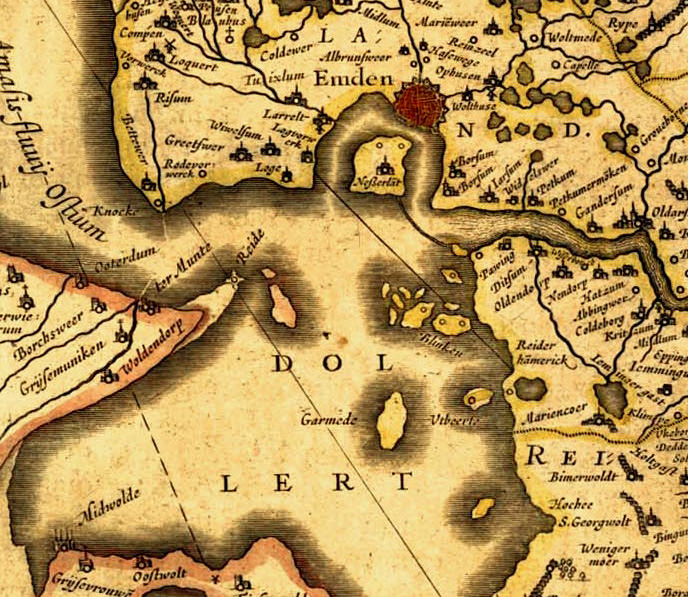
Old map of East Frisia.
1600 · Wikimedia Commons

Plan der Festung (Vestung) Glückstadt, wahrscheinlich um 1724, Legende: A=Alter Schloss-Platz B=Gießhaus C=Arsenal D=Schiffs-Arsenal E=Lutherische Kirche F=Holländische/Reformierte Kirche G=Catholisch
1724 · Wikimedia Commons

Plans for alterations to the fortifications at Cochin
1780–1800 · Wikimedia Commons

Folkesprogene i Hertugdømmet Slesvig (Higher Resolution Version)
Wikimedia Commons

Map of Cochin and part of the island of Vypin
1690–1705 · Wikimedia Commons

Floor plan of the Cochin fort
1782 · Wikimedia Commons

Map of Breslau (Wrocław) in about 1807, showing also the fortifications as they stood before the siege of 1806, and which had been destroyed shortly after. Engraved by Friedrich Gottlob Endler. The no
1807 · Wikimedia Commons