

Map of Friedrichstadt about 1750
- Date
- 1750–2016
- Mapmaker / publisher
- G. I. E. Coch (original graphic); screenshot & upload Ulamm ( )
- Place
- Schleswig-Holstein
- Archive
- Wikimedia Commons
- Type
- map
- Original size
- 959 × 801 pixels
Public domain
Reason: its maker died more than 100 years ago.
This status rests on the map's publication history, as researched by Wikimedia Commons. Check it before commercial use.
Read from: Commons licence category: PD-old-100-expired; no CC BY, CC BY-SA, GFDL or deletion tag on the file page.
Credit line
"Map of Friedrichstadt about 1750" (1750–2016). G. I. E. Coch (original graphic); screenshot & upload Ulamm ( ), via Wikimedia Commons. Public domain. https://commons.wikimedia.org/wiki/File:Friedrichstadt1750Coch.pngNeed maps for a whole project? Add Find Any Map to Claude and ask for this one by its id: 253254.
More like this

Map of Friedrichstadt about 1750, water outlets marked
1750–2016 · Wikimedia Commons
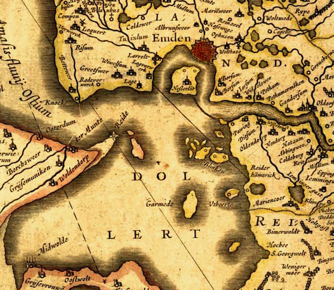
Old map of East Frisia.
1600 · Wikimedia Commons

Plans for alterations to the fortifications at Cochin
1780–1800 · Wikimedia Commons

Plan der Festung (Vestung) Glückstadt, wahrscheinlich um 1724, Legende: A=Alter Schloss-Platz B=Gießhaus C=Arsenal D=Schiffs-Arsenal E=Lutherische Kirche F=Holländische/Reformierte Kirche G=Catholisch
1724 · Wikimedia Commons

Folkesprogene i Hertugdømmet Slesvig (Higher Resolution Version)
Wikimedia Commons

Map of "German Coast" of Louisiana in the 18th century. "Colapissas" marks present day LaPlace, Louisiana.
1718–1775 · Wikimedia Commons

Map of Cochin and part of the island of Vypin
1690–1705 · Wikimedia Commons

Folkesprogene i Hertugdømmet Slesvig
1838 · Wikimedia Commons